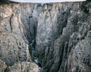
Black Canyon of the Gunnison National Monument was promoted to National Park status in 1999. There are two primary entrances to the park: the south rim entrance is located 15 miles east of Montrose, while the north rim entrance is 11 miles south of Crawford and is closed in the winter. The park contains 12 miles of the 48-mile long Black Canyon of the Gunnison River. The national park itself contains the deepest and most dramatic section of the canyon, but the canyon continues upstream into Curecanti National Recreation Area and downstream into Gunnison Gorge National Conservation Area. The canyon’s name owes itself to the fact that parts of the gorge only receive 33 minutes of sunlight a day. The shear depth of the canyon is incredible and although very different is just as magnificent a sight as the Grand Canyon in its own unique way.
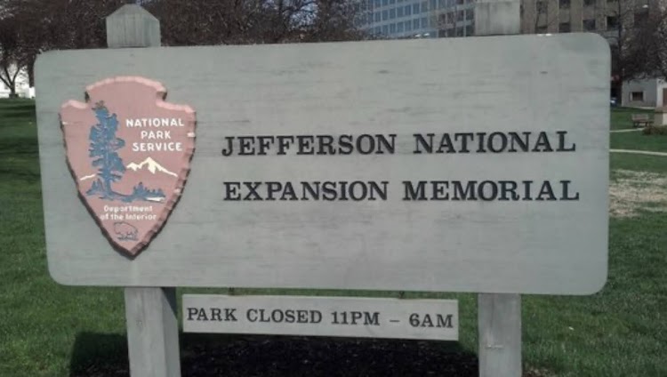
Gateway Arch National Park, formerly known as the Jefferson National Expansion Memorial until 2018, is located in St. Louis, Missouri, near the starting point of the Lewis and Clark Expedition. The Gateway Arch and its immediate surroundings were initially designated as a national memorial by executive order on December 21, 1935, and re-designated as a national park in 2018. The memorial was established to commemorate: the Louisiana Purchase, and the subsequent westward movement of American explorers and pioneers; the first civil government west of the Mississippi River; and the debate over slavery raised by the Dred Scott case.
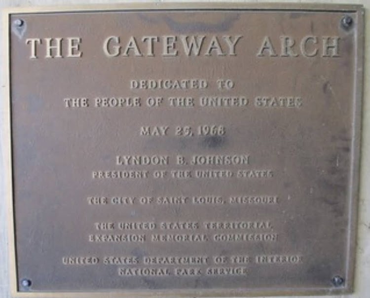
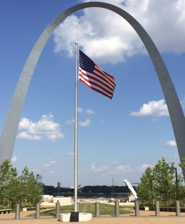
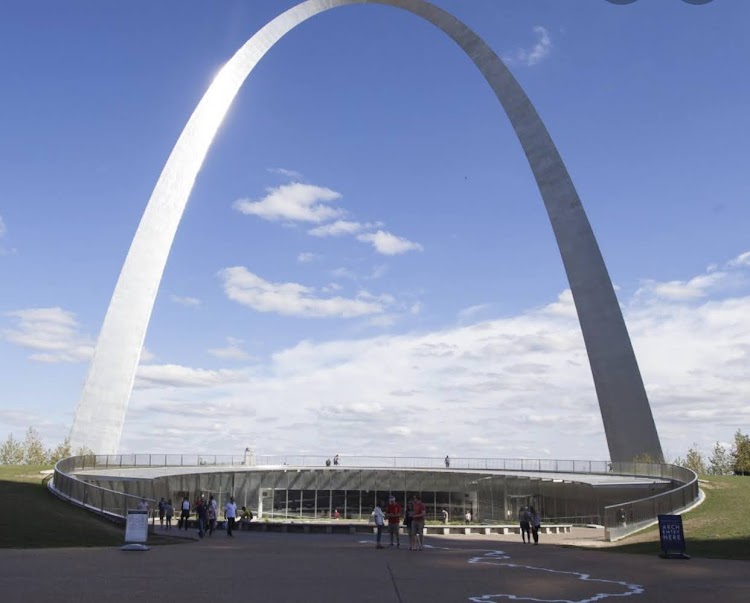
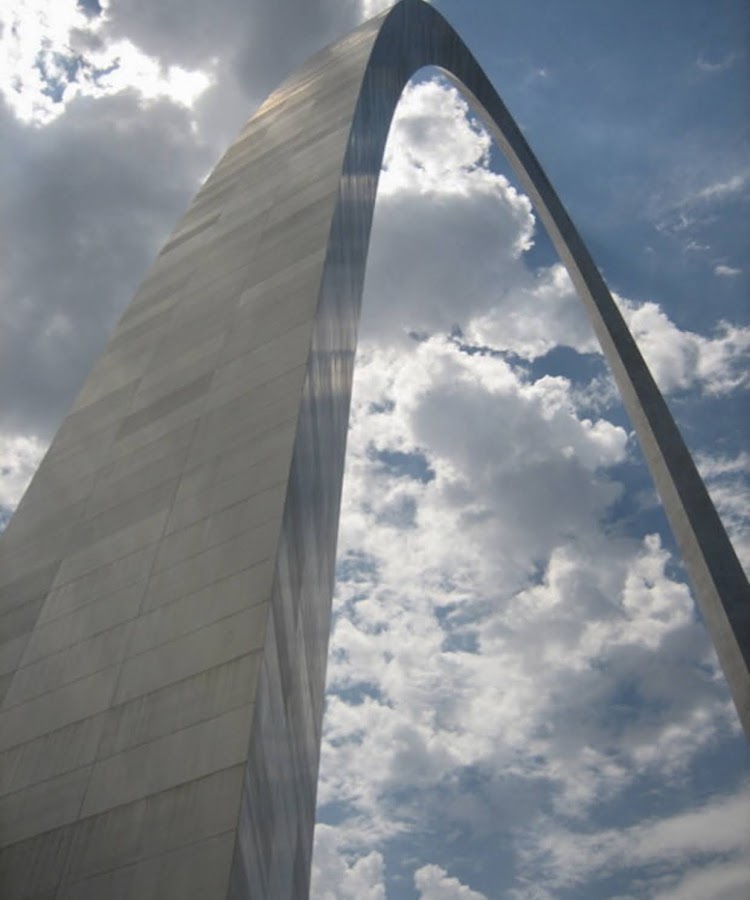
The national park consists of the Gateway Arch, a steel catenary arch that has become the definitive icon of St. Louis; a 91-acre park along the Mississippi River on the site of the earliest buildings of the city; the Old Courthouse, a former state and federal courthouse where the Dred Scott case originated; and the 140,000 square foot museum at the Gateway Arch.
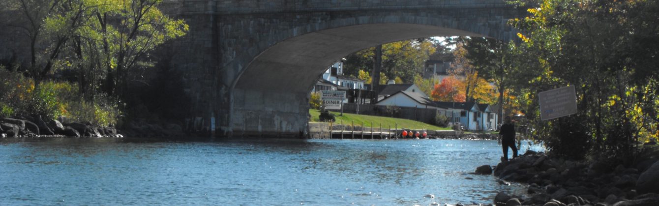
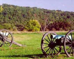
Wilson’s Creek National Battlefield, located near Republic, Missouri, preserves the site of the Battle of Wilson’s Creek. Fought on August 10, 1861, the battle was the first major American Civil War engagement west of the Mississippi River. In the battle, a Confederate army commanded by Benjamin McCulloch and Sterling Price defeated a smaller Union army commanded by Nathaniel Lyon. However, the Confederates were unable to hold much of Missouri, and a Confederate defeat at the Battle of Pea Ridge effectively solidified Union control of the state. Major features include a five-mile automobile tour loop, the restored 1852 Ray House, and “Bloody Hill,” the site of the final stage of the battle.
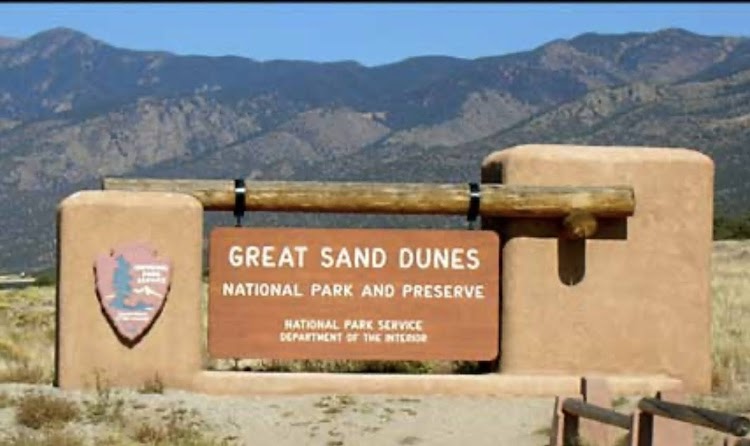
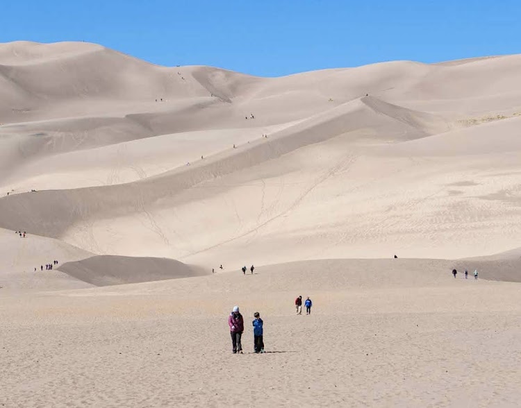
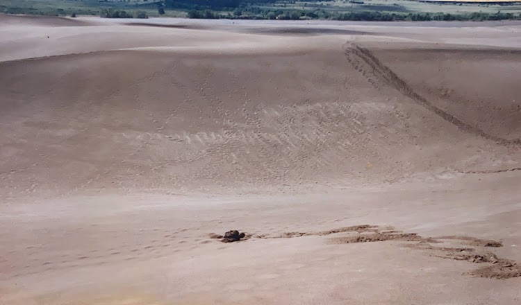
Great Sand Dunes National Park and Preserve conserves an area of large sand dunes up to 750 feet tall on the eastern edge of the San Luis Valley, and an adjacent national preserve in the Sangre de Cristo Range, in south-central Colorado. The park was originally designated Great Sand Dunes National Monument on March 17, 1932, by President Herbert Hoover. The original boundaries protected an area of 35,528 acres. A boundary change and re-designation as a national park and preserve was authorized on November 22, 2000, and then established by an act of Congress on September 24, 2004. The park encompasses 107,342 acres while the preserve protects an additional 41,686 acres for a total of 149,028 acres.
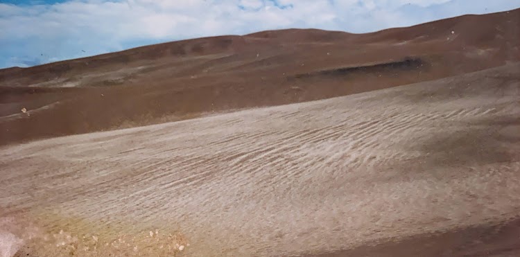
The park contains the tallest sand dunes in North America. Visitors must walk across the wide and shallow Medano Creek to reach the dunes in spring and summer. The creek typically has a peak flow from late May to early June. From July to April, it is usually no more than a few inches deep, if there is any water at all. Hiking is permitted throughout the dunes with the warning that the sand surface temperature may reach 150 °F in summer. You may start up the dunes in the morning barefoot when it is quite cool but when the sun starts heating up the sand it is impossible to walk. The old chestnut about taking three steps forward and two steps back also definitely applies to hiking up these dunes.
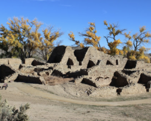
The Aztec Ruins National Monument in northwestern New Mexico, consists of preserved structures constructed by the Pueblo Indians nearly a thousand years ago. The national monument lies on the western bank of the Animas River in Aztec, New Mexico, about 12 miles northeast of Farmington. Archaeological evidence puts the construction of the ruins in the 12th and 13th centuries. The Puebloan-built ruins were dubbed the “Aztec Ruins” by 19th century American settlers who misattributed their construction to the Aztecs.