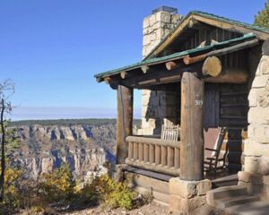
The north rim of the Grand Canyon is the much less visited portion of the national park. The area includes a Visitor Center, the Grand Canyon Lodge, and a number of hiking trails, including the Bright Angel Point Trail and Transept Trail. The views are not quite as expansive as on the south rim but the lack of crowds is a nice change of pace.
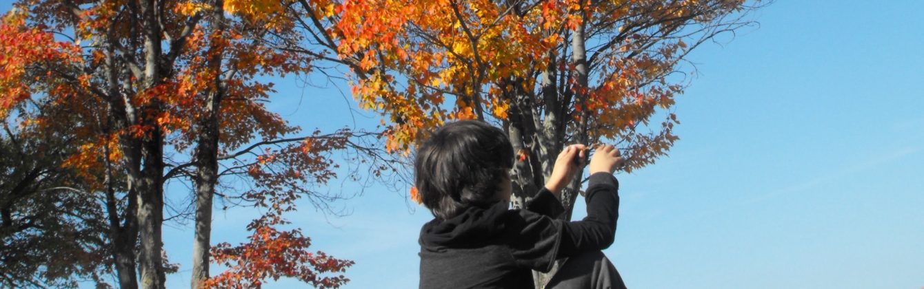
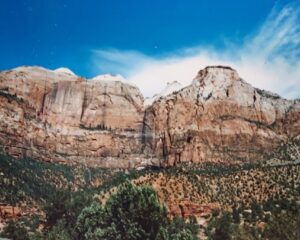
Zion National Park is located in southwestern Utah near the town of Springdale. A prominent feature of the 229-square-mile park is Zion Canyon, which is 15 miles long and up to 2,640 feet deep. The canyon walls are reddish and tan-colored Navajo Sandstone eroded by the North Fork of the Virgin River. The lowest point in the park is 3,666 feet at Coalpits Wash and the highest peak is 8,726 ft at Horse Ranch Mountain. Located at the junction of the Colorado Plateau, Great Basin, and Mojave Desert regions, the park has a unique geography and a variety of life zones that allow for unusual plant and animal diversity. Numerous plant species as well as 289 species of birds, 75 mammals (including 19 species of bat), and 32 reptiles inhabit the park’s four life zones: desert, riparian, woodland, and coniferous forest. Zion National Park includes mountains, canyons, buttes, mesas, monoliths, rivers, slot canyons, and natural arches. Zion is my favorite western national park with its spectacular vistas. unique hiking trails and stunning topography.
Natural Bridges National Monument is located about 50 miles northwest of the Four Corners boundary of southeast Utah at the junction of White Canyon and Armstrong Canyon, part of the Colorado River drainage. It features the thirteenth largest natural bridge in the world, carved from the white Permian sandstone of the Cedar Mesa Formation that gives White Canyon its name. The three bridges in the park are named Kachina, Owachomo, and Sipapu, which are all Hopi names. A natural bridge is formed through erosion by water flowing in the stream bed of the canyon. Eventually, as erosion and gravity enlarge the bridge’s opening, the bridge collapses under its own weight. There is evidence of at least two collapsed natural bridges within the Monument.
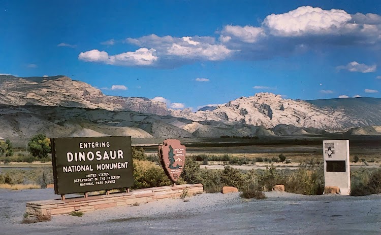
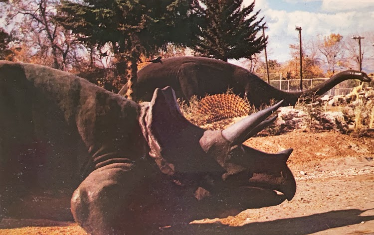
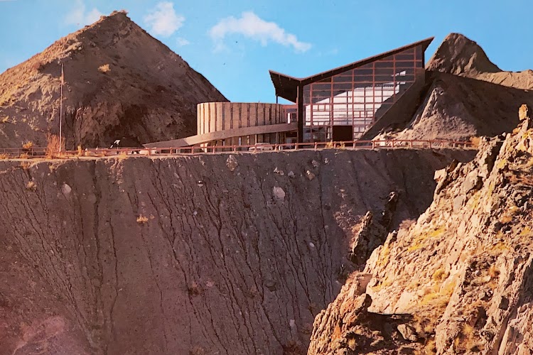
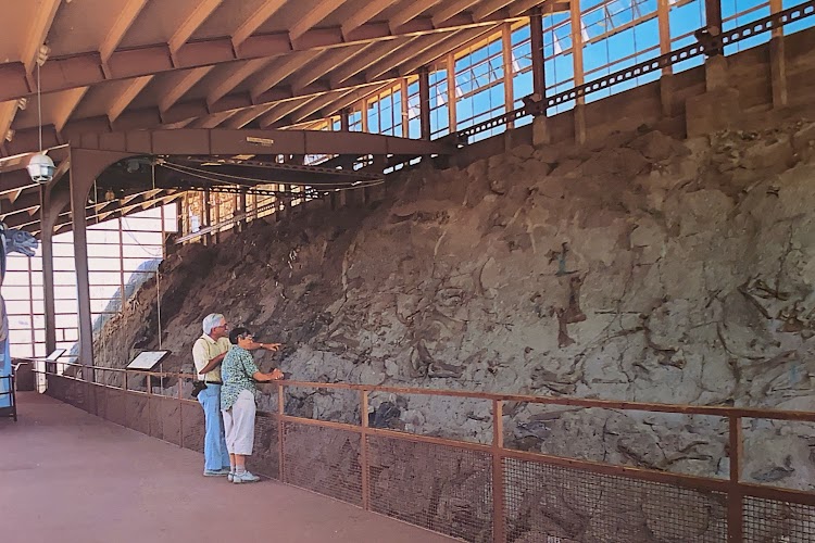
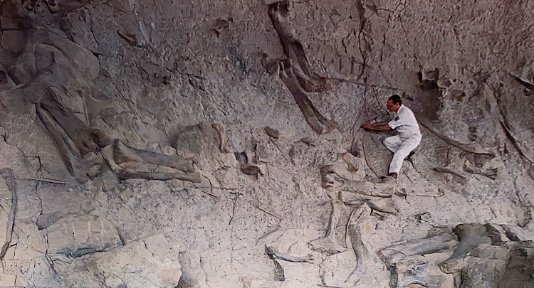
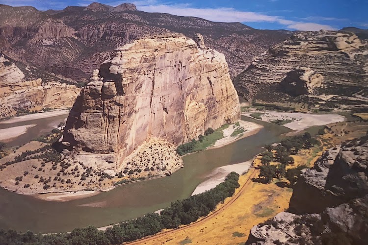
Dinosaur National Monument is located on the southeast flank of the Uinta Mountains on the border between Colorado and Utah at the confluence of the Green and Yampa rivers. Although most of the monument area is in Moffat County, Colorado, the Dinosaur Quarry is located in Utah, north of the town of Jensen, Utah. The nearest Colorado town is Dinosaur while the nearest city is Vernal, Utah. The park contains over 800 paleontological sites and has fossils of dinosaurs including Allosaurus, Deinonychus, Abydosaurus, and various sauropods. The Abydosaurus consists of a nearly complete skull, the lower jaw, and first four neck vertebrae.
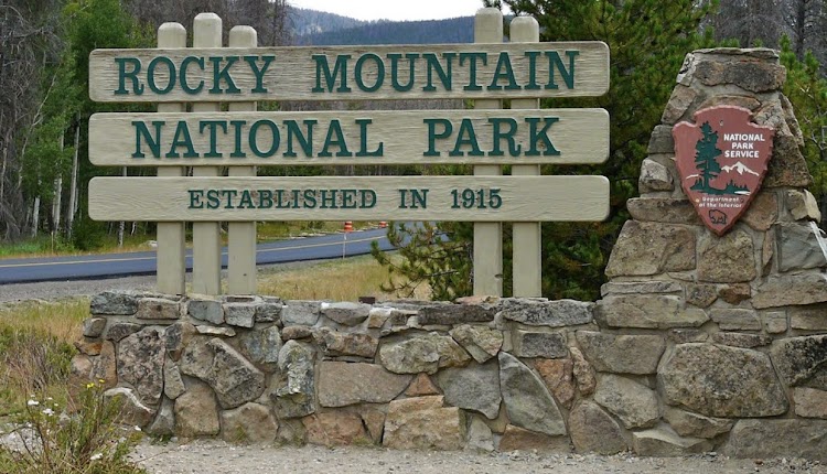
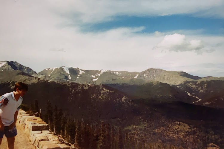
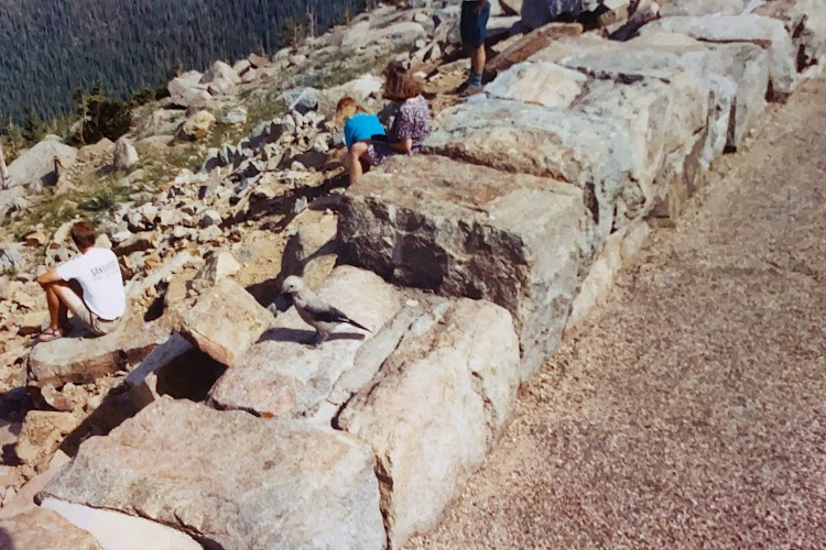
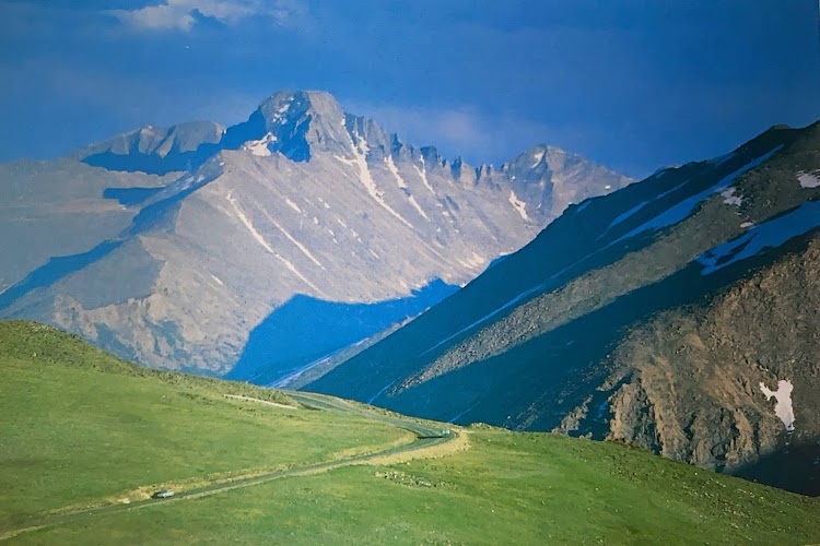
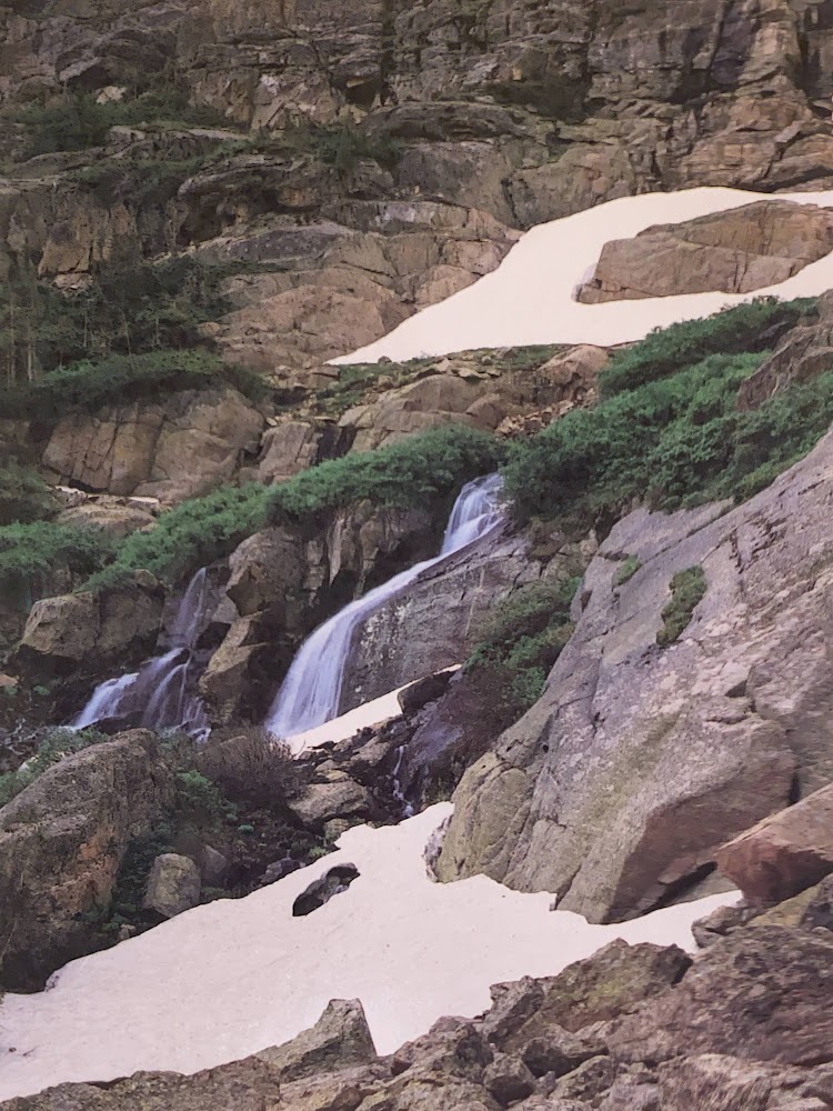
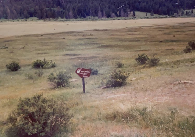
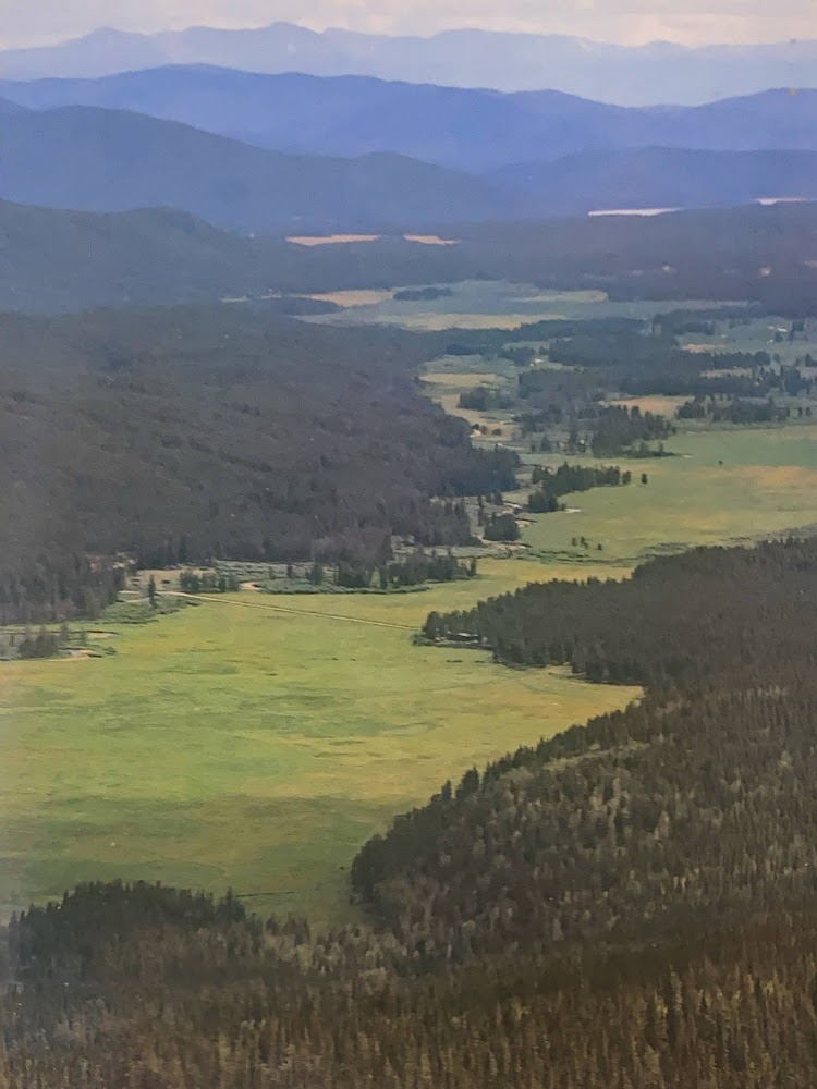
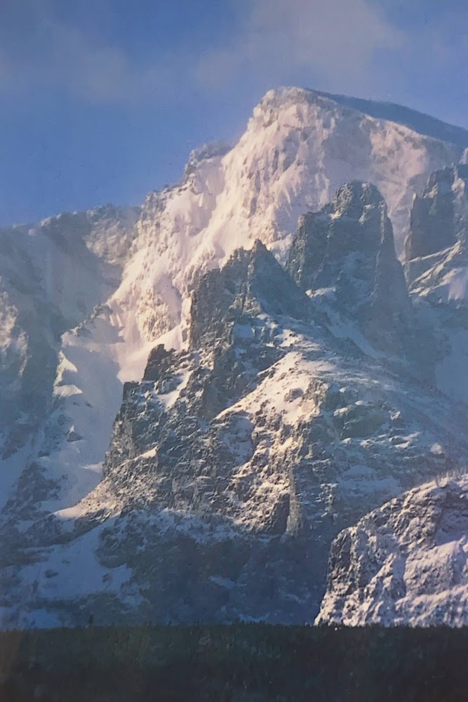
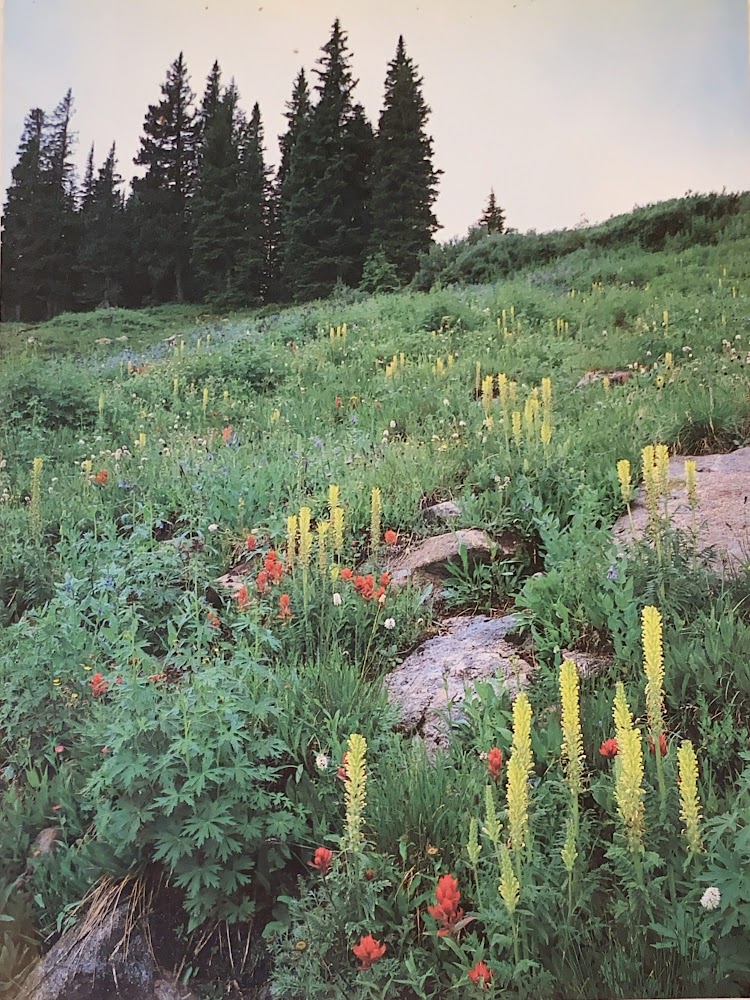
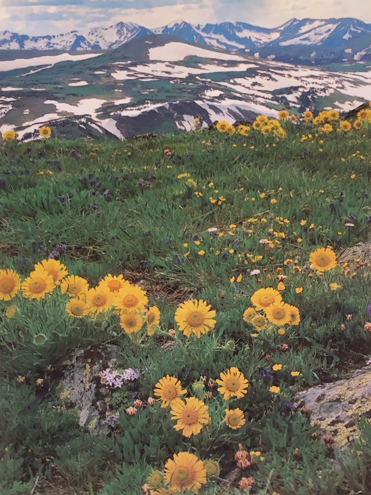
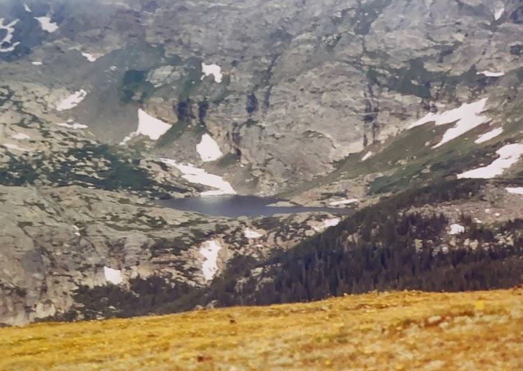
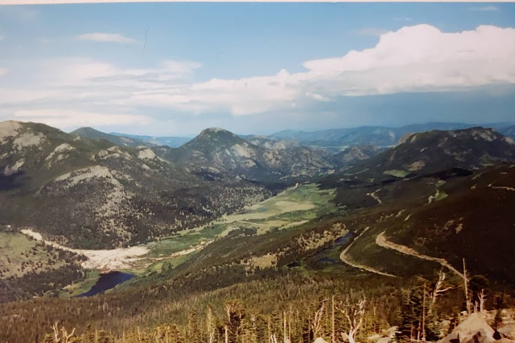
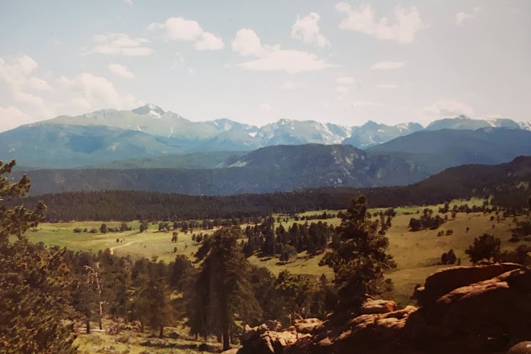
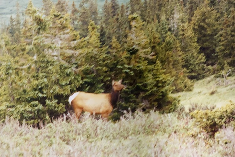
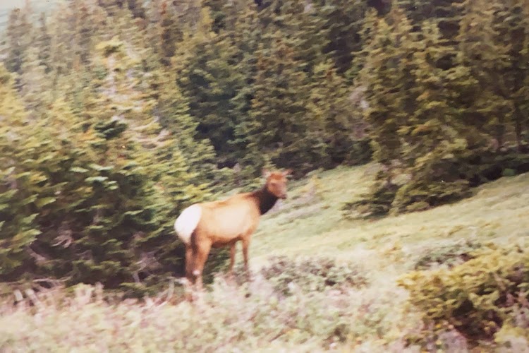
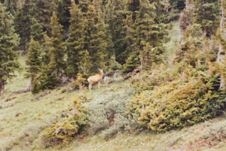
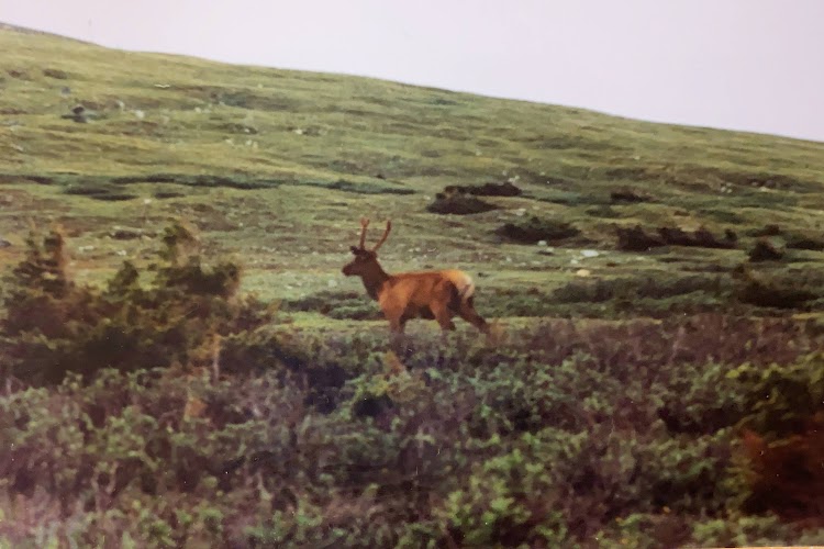
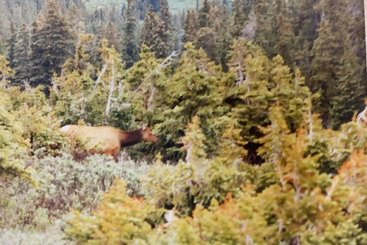
Rocky Mountain National Park is located approximately 76 miles northwest of Denver in north-central Colorado, within the Front Range of the Rocky Mountains. The park is situated between the towns of Estes Park to the east and Grand Lake to the west. The eastern and western slopes of the Continental Divide run directly through the center of the park with the headwaters of the Colorado River located in the park’s northwestern region. The main features of the park include mountains, alpine lakes and a wide variety of wildlife within various climates and environments, from wooded forests to mountain tundra. The park has a total of five visitor centers with park headquarters located at the Beaver Meadows Visitor Center. National Forest lands surround the park including Roosevelt National Forest to the north and east, Routt National Forest to the north and west, and Arapaho National Forest to the west and south, with the Indian Peaks Wilderness area located directly south of the park. The park and these surrounding areas protect a vast mountain wilderness.