Arches National Park – Moab, Utah

Arches National Park is in eastern Utah. The park is adjacent to the Colorado River, 4 miles north of Moab, Utah.

New photo by Wanderlust Family Adventure / Google Photos

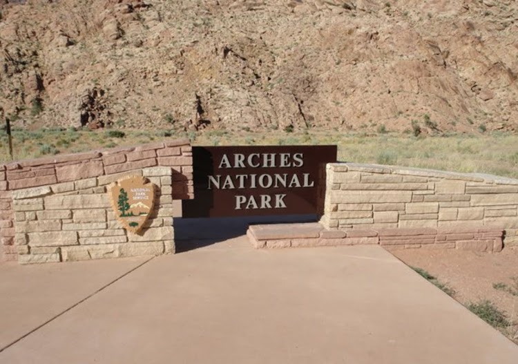
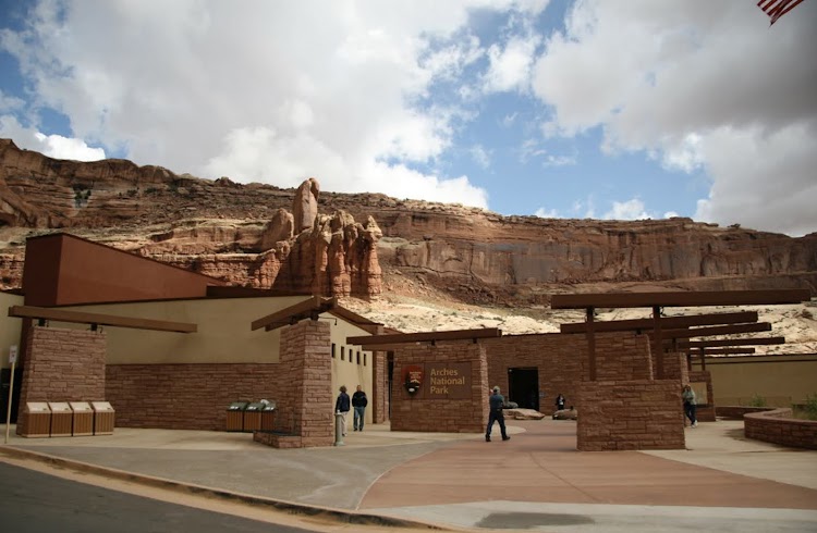
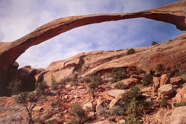
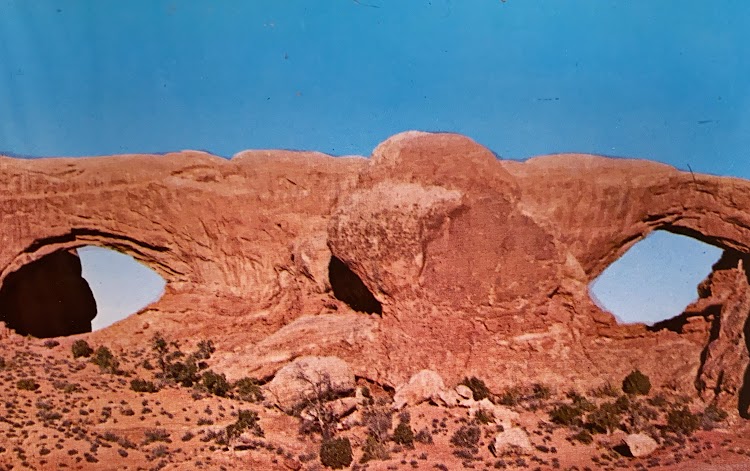
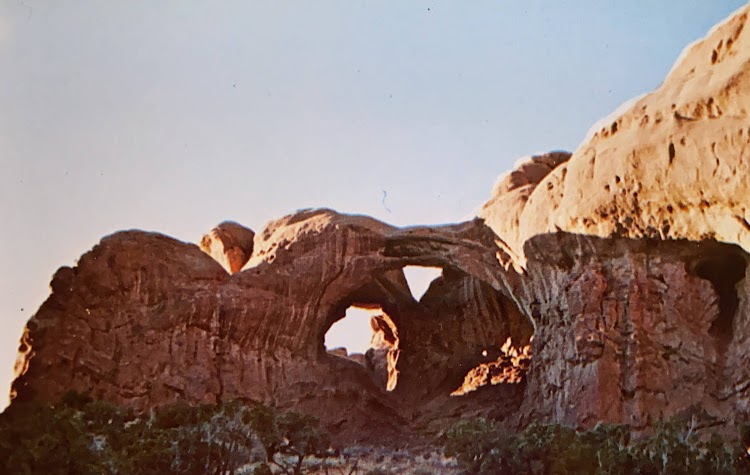
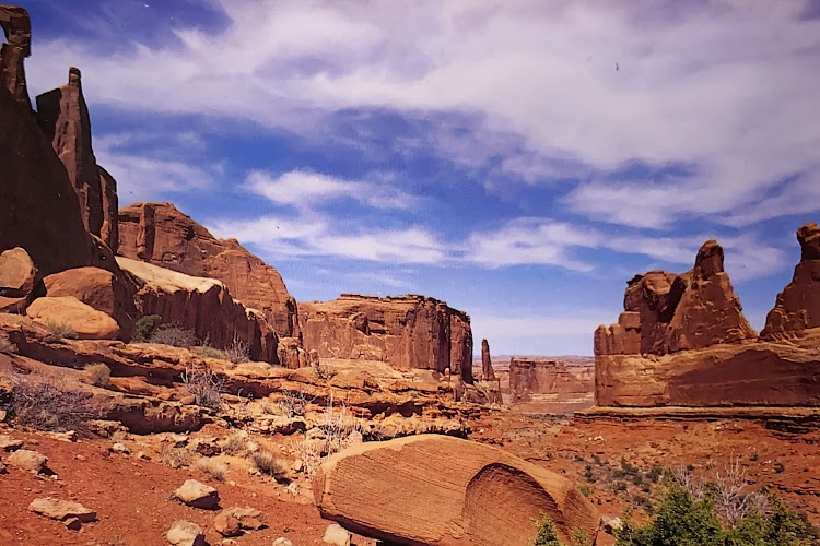
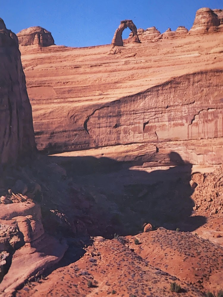
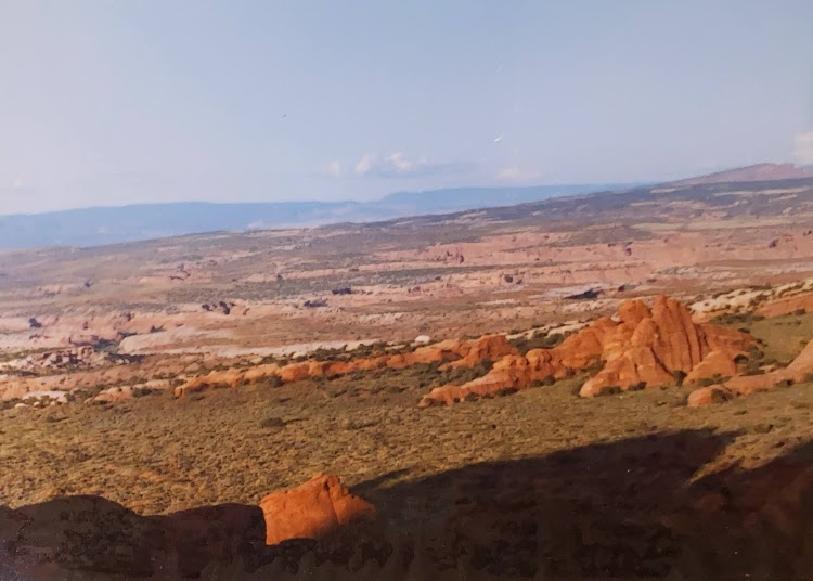
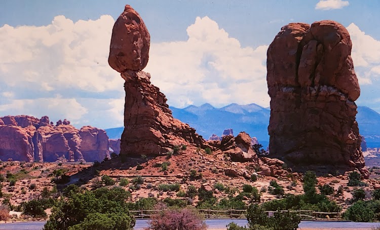
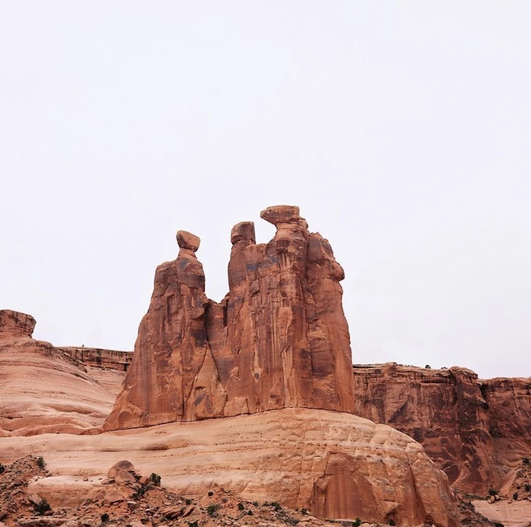
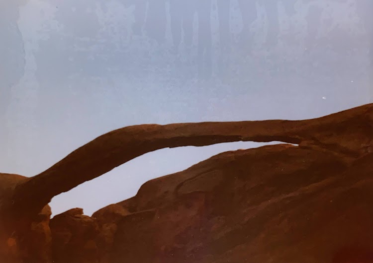
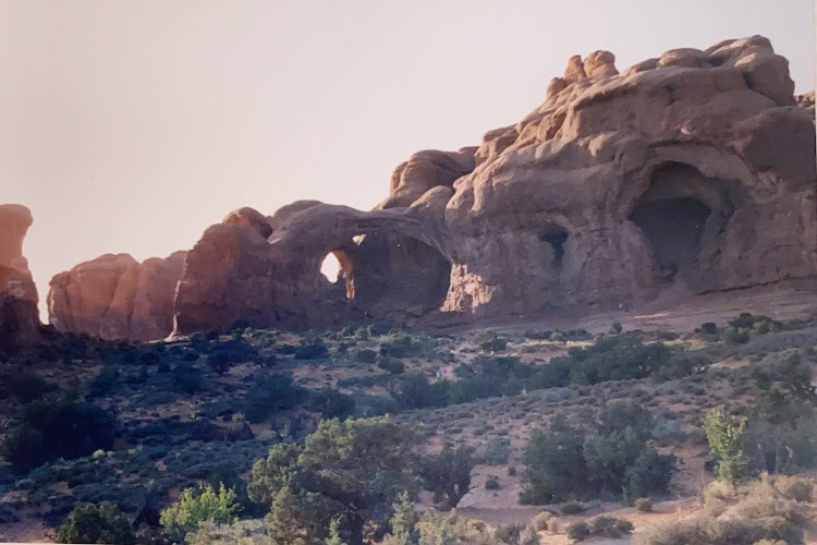
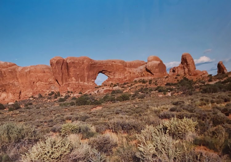
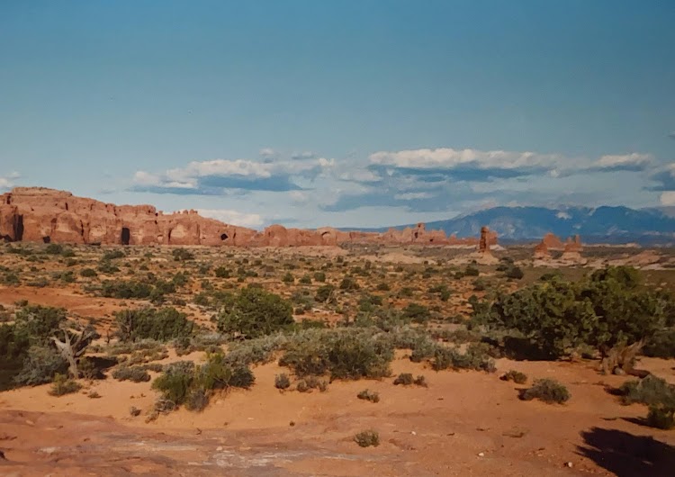
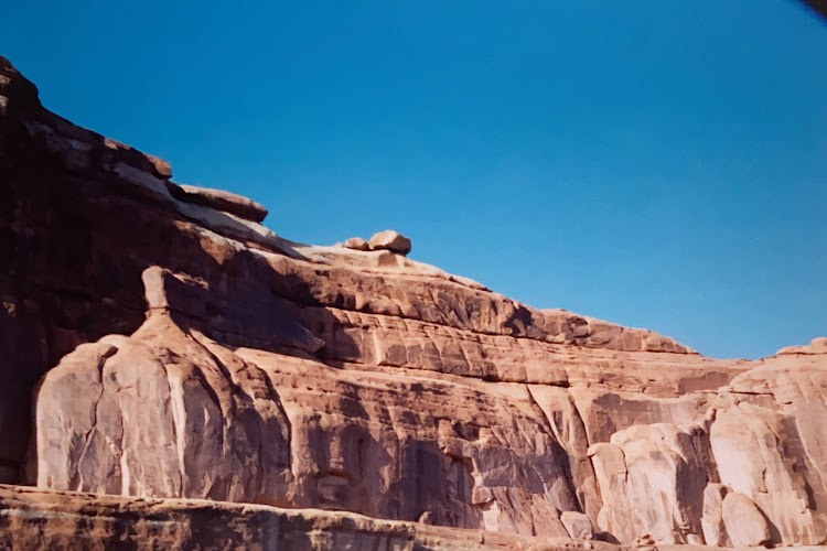
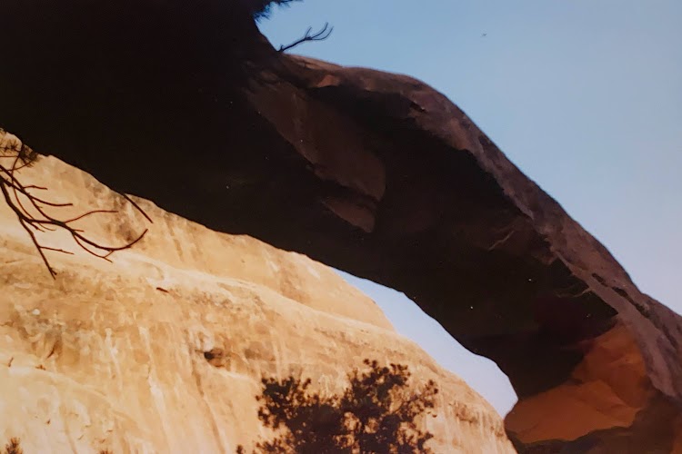
More than 2,000 natural sandstone arches are located in the park, including the well-known Delicate Arch, as well as a variety of unique geological resources and formations. The park contains the highest density of natural arches in the world. The park consists of 76,679 acres of high desert located on the Colorado Plateau. The highest elevation in the park is 5,653 feet at Elephant Butte, and the lowest elevation is 4,085 feet at the visitor center.

New photo by Wanderlust Family Adventure / Google Photos

Many of the arches can be seen from the park road or accessed by short hikes and walking trails.

New photo by Wanderlust Family Adventure / Google Photos

Dinosaur National Monument – Colorado/Utah

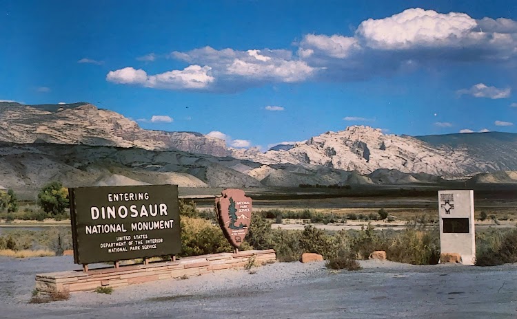
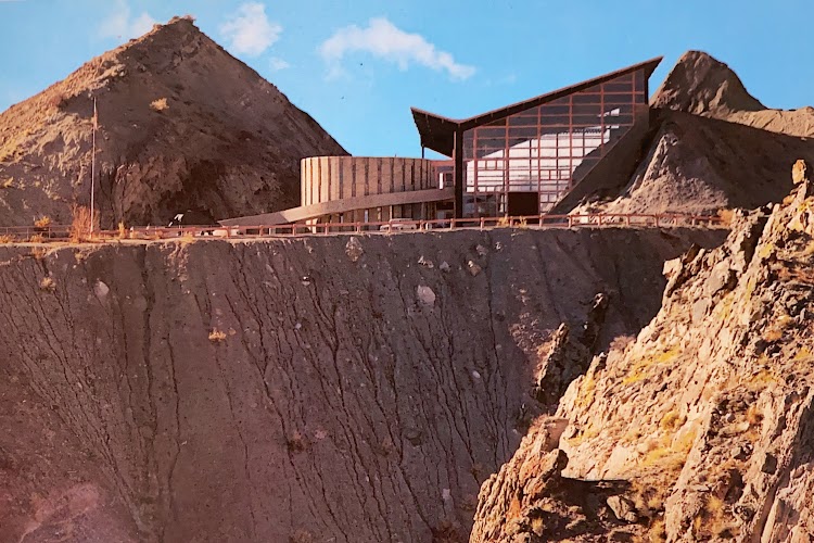
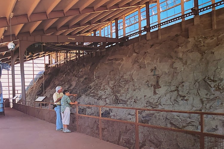
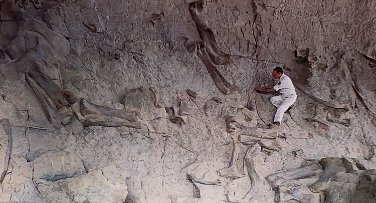
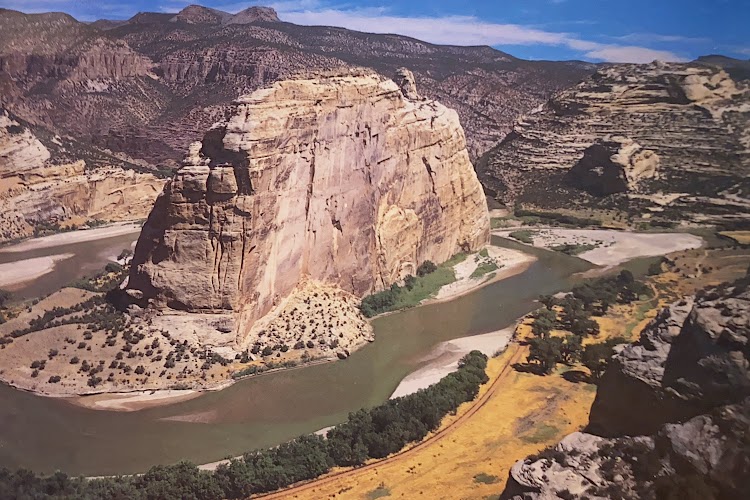
Dinosaur National Monument is located on the southeast flank of the Uinta Mountains on the border between Colorado and Utah at the confluence of the Green and Yampa rivers. Although most of the monument area is in Moffat County, Colorado, the Dinosaur Quarry is located in Utah, north of the town of Jensen, Utah. The nearest Colorado town is Dinosaur while the nearest city is Vernal, Utah. The park contains over 800 paleontological sites and has fossils of dinosaurs including Allosaurus, Deinonychus, Abydosaurus, and various sauropods. The Abydosaurus consists of a nearly complete skull, the lower jaw, and first four neck vertebrae.

New photo by Wanderlust Family Adventure / Google Photos

There are two main attractions in the park; the dinosaur fossils.

New photo by Wanderlust Family Adventure / Google Photos

and the confluence of the Green and Yampa Rivers.

New photo by Wanderlust Family Adventure / Google Photos

Castle Valley, Utah

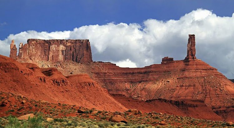
Castle Valley is a small town in Grand County, Utah. The population was 319 at the 2010 census. The town is about 16 miles northeast of Moab near Utah Route 128. The community was named for castle-like rock formations near the town site.

New photo by Wanderlust Family Adventure / Google Photos

Rocky Mountain National Park – Estes Park, Colorado

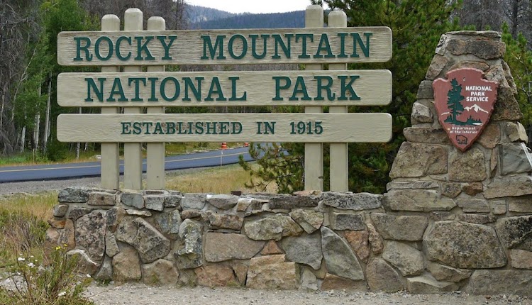
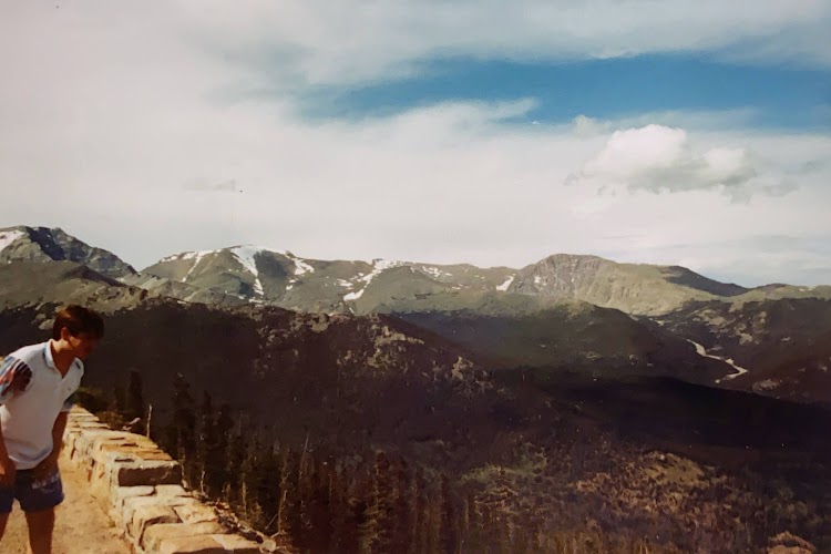
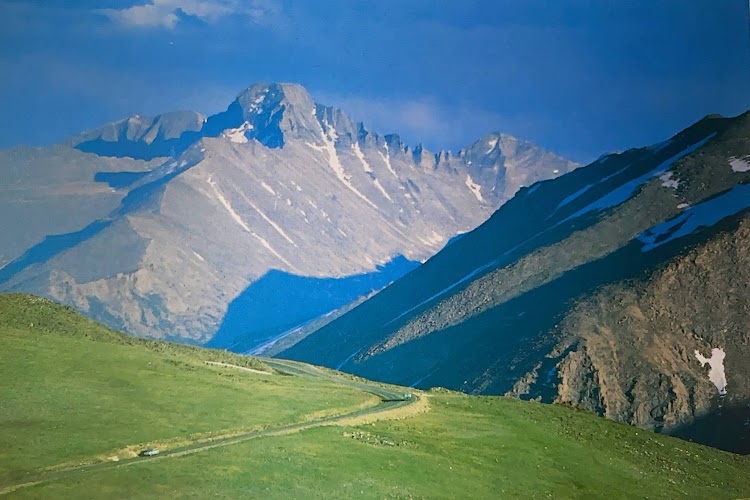
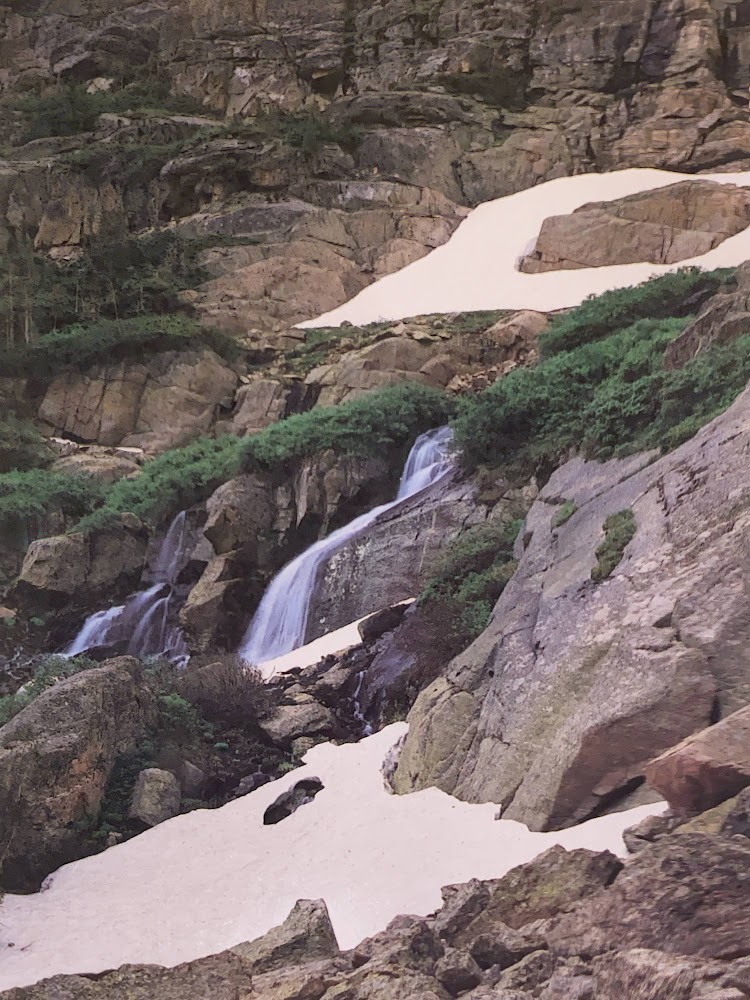
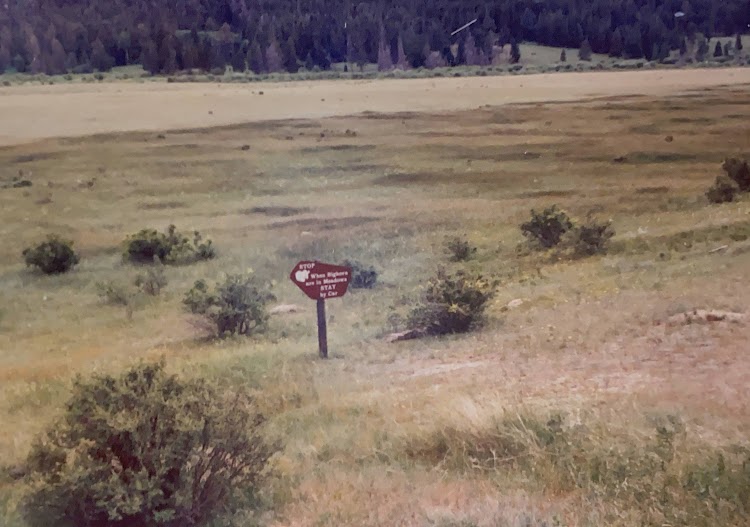
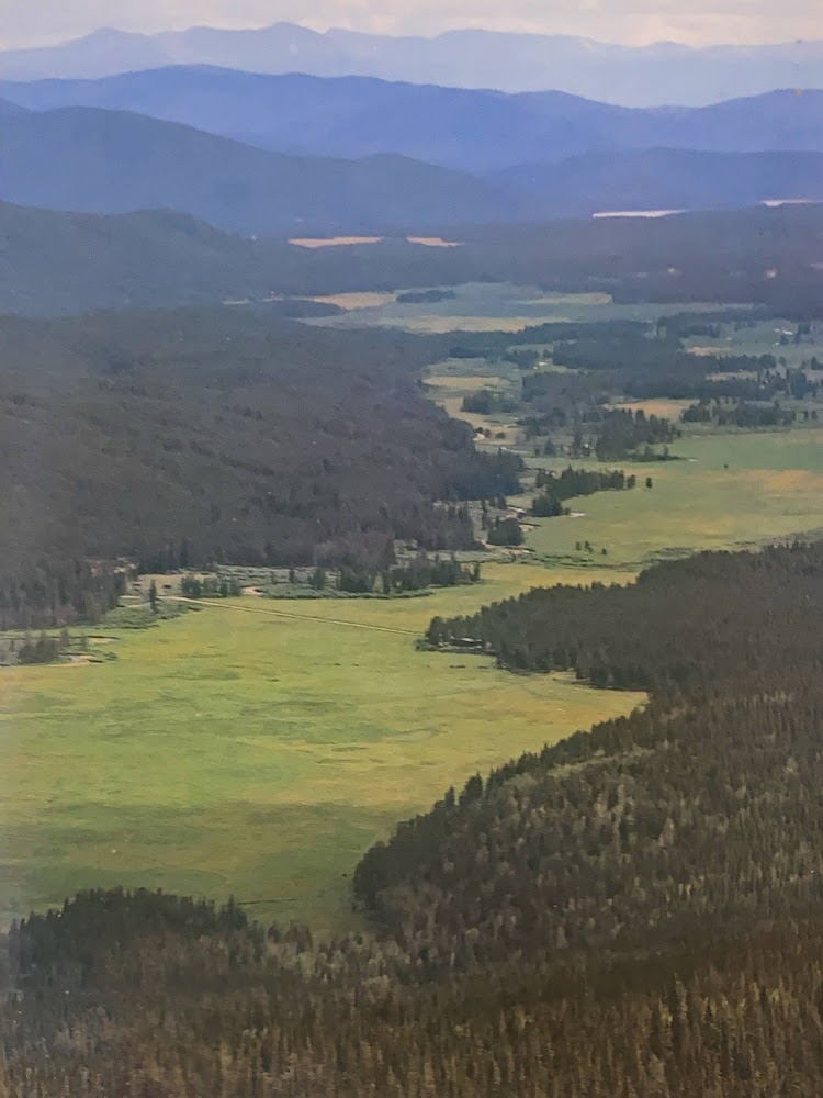
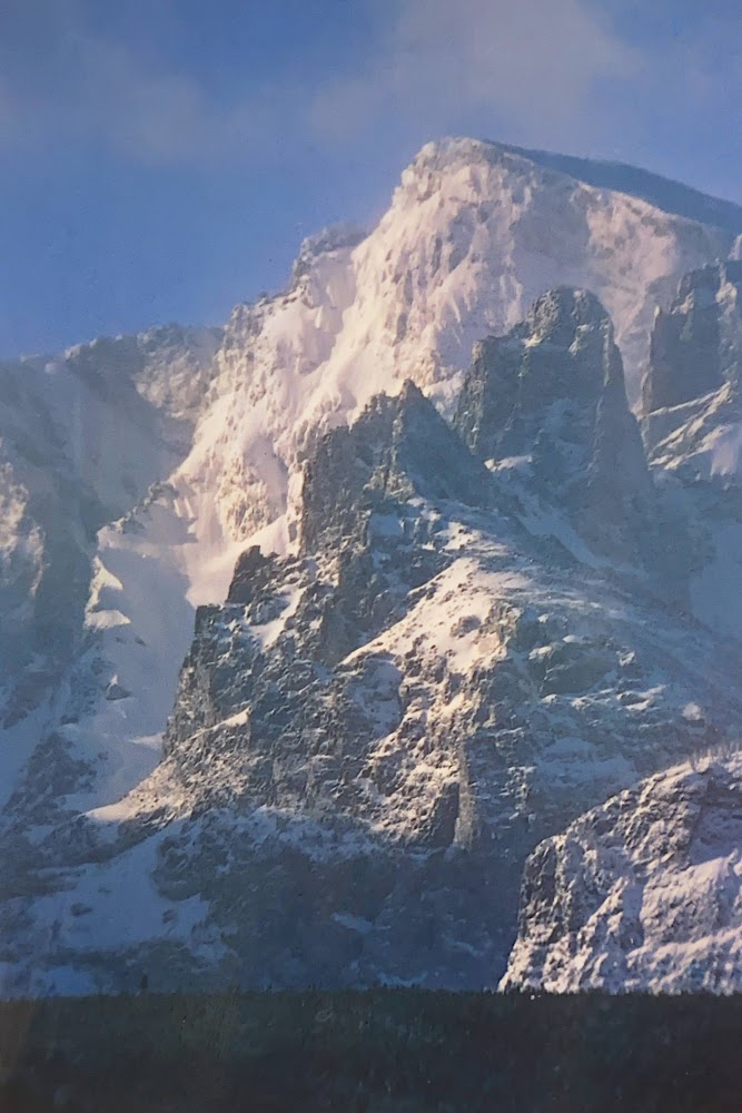
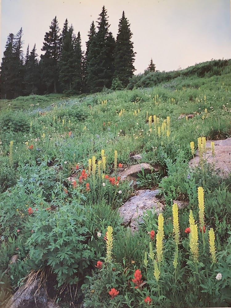
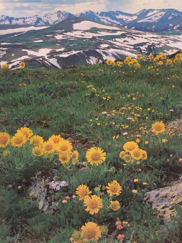
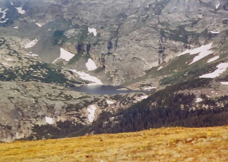
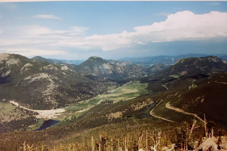
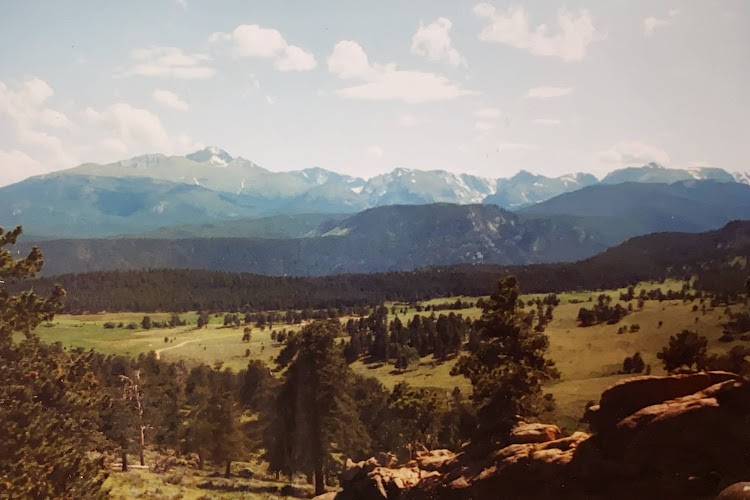
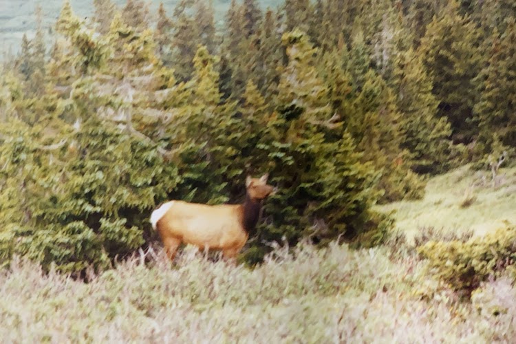
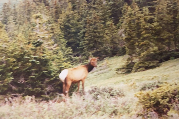
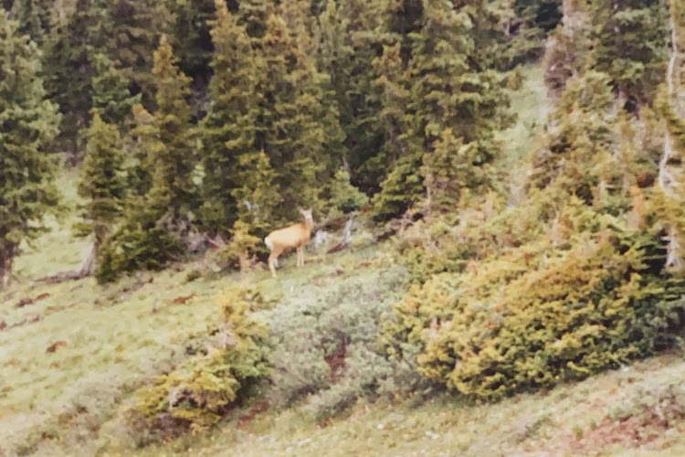
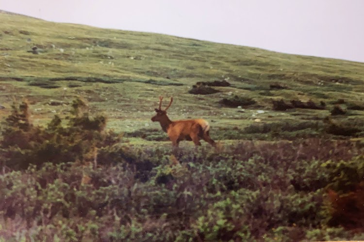
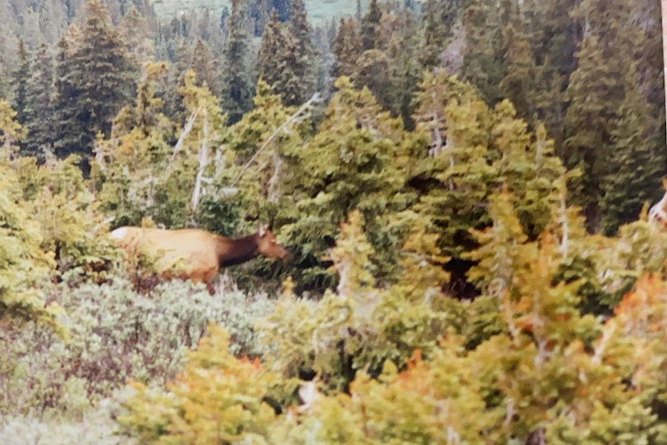
Rocky Mountain National Park is located approximately 76 miles northwest of Denver in north-central Colorado, within the Front Range of the Rocky Mountains. The park is situated between the towns of Estes Park to the east and Grand Lake to the west. The eastern and western slopes of the Continental Divide run directly through the center of the park with the headwaters of the Colorado River located in the park’s northwestern region. The main features of the park include mountains, alpine lakes and a wide variety of wildlife within various climates and environments, from wooded forests to mountain tundra. The park has a total of five visitor centers with park headquarters located at the Beaver Meadows Visitor Center. National Forest lands surround the park including Roosevelt National Forest to the north and east, Routt National Forest to the north and west, and Arapaho National Forest to the west and south, with the Indian Peaks Wilderness area located directly south of the park. The park and these surrounding areas protect a vast mountain wilderness.

New photo by Wanderlust Family Adventure / Google Photos

The park road goes up and over the continental divide offering spectacular mountain scenery.

New photo by Wanderlust Family Adventure / Google Photos

Wildlife abounds and can be easily seen from the road.

New photo by Wanderlust Family Adventure / Google Photos

Indiana Dunes National Lakeshore – Porter, Indiana

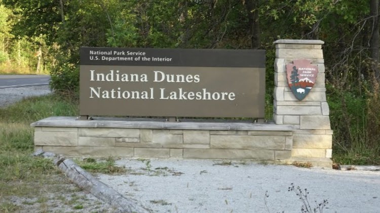
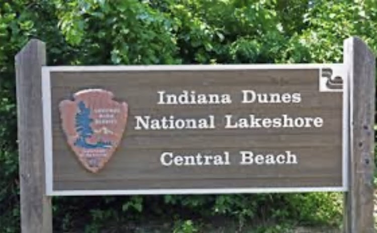
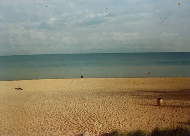
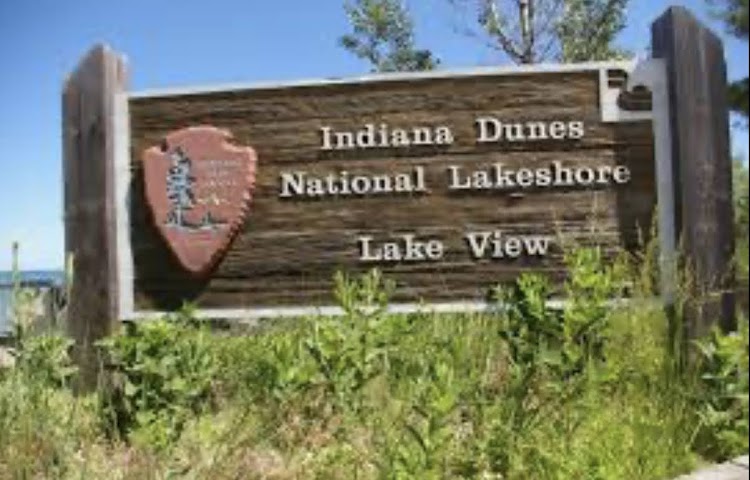
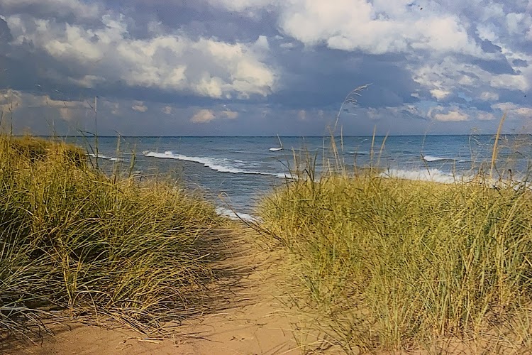
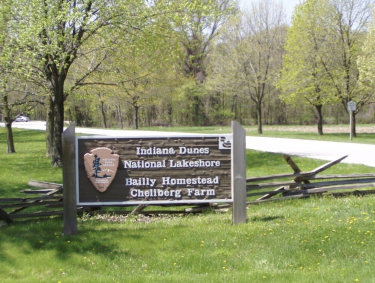
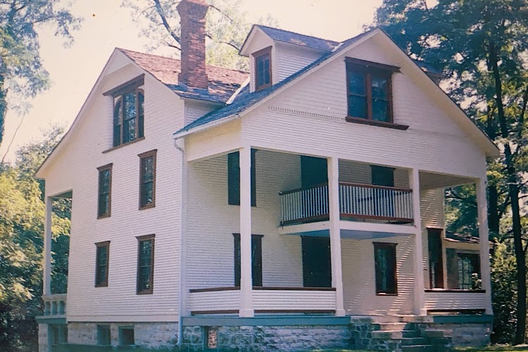
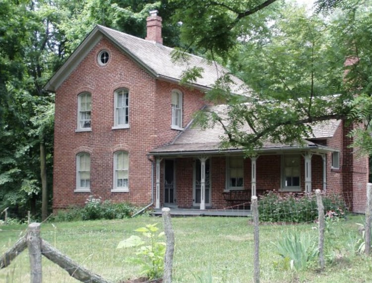
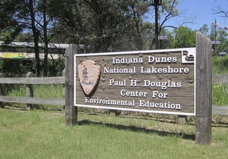
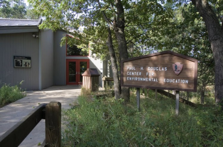
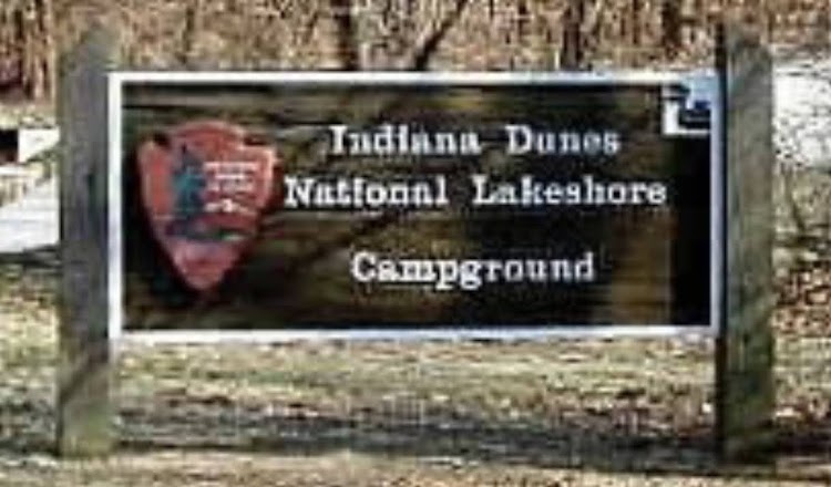
Indiana Dunes National Lakeshore was recently promoted to national park status becoming the nation’s 61st national park. The park runs for nearly 25 miles along the southern shore of Lake Michigan; it contains approximately 15,000 acres. Its visitors center is in Porter, Indiana. Located in the park are sand dune, wetland, prairie, river, and forest ecosystems. Several of the holdings of the national park are non-contiguous and do not include the 2,182-acre Indiana Dunes State Park, which is within the boundaries of the national park but is owned, managed, and protected by the state of Indiana. The national park is divided into 15 parcels of various acreage. The state park makes it seem to be a typical beach destination with sunbathers and swimmers during the summer months but the greater national park areas are dedicated to preserving and protecting the natural and historic legacy of area more fitting to the national park mandate.

New photo by Wanderlust Family Adventure / Google Photos

There are viewing areas for the dunes and lakeshore.

New photo by Wanderlust Family Adventure / Google Photos

You can see the skyline of Chicago across the lake.

New photo by Wanderlust Family Adventure / Google Photos

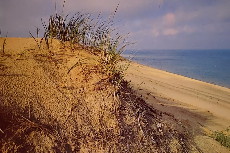
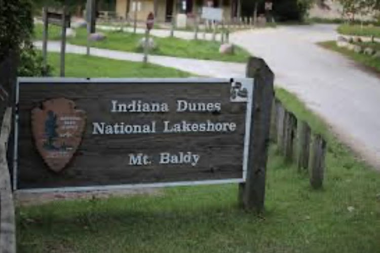
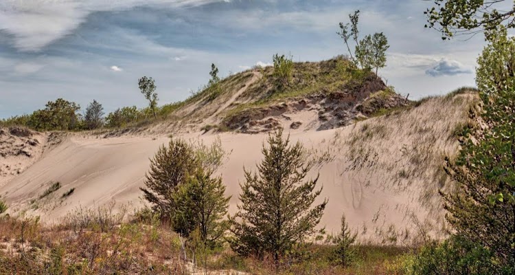
The tallest dune in the park is Mount Baldy which is closed to the public while the park service tries to stabilize the dune due to the impact of erosion from so many visitors.

New photo by Wanderlust Family Adventure / Google Photos

There are several historic structures within the park the Joseph Bailly Homestead and the Chellberg Farm.

New photo by Wanderlust Family Adventure / Google Photos

The Paul H. Douglas Center for Environmental Education operates as the National Park’s western visitor center, providing visitors with activities to help them learn about the dunes. It hosts exhibits, classrooms, and provides access to the 3.4 mile Paul H. Douglas Trail.

New photo by Wanderlust Family Adventure / Google Photos

The campground in the park has large spacious sites.

New photo by Wanderlust Family Adventure / Google Photos

This park is an excellent example of a park that has grown over the years slowly preserving the area it was designated to protect.