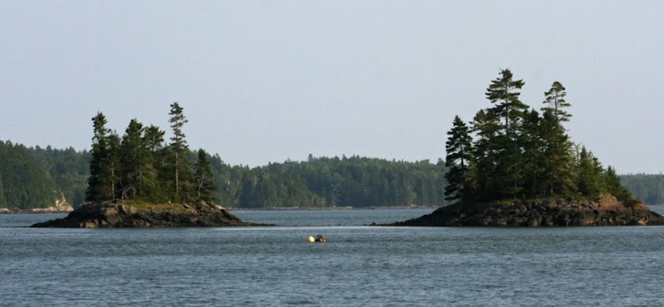
Curecanti National Recreation Area is a National Park Service unit located on the Gunnison River in western Colorado. Established in 1965, Curecanti is responsible for developing and managing recreational facilities on three reservoirs, Blue Mesa Reservoir, Morrow Point Reservoir and Crystal Reservoir, constructed on the upper Gunnison River in the 1960s by the U.S. Bureau of Reclamation to better utilize the vital waters of the Colorado River and its major tributaries. A popular destination for boating and fishing, Curecanti offers visitors two marinas, traditional and group campgrounds, hiking trails, boat launches, and boat-in campsites. The state’s premiere lake trout and Kokanee salmon fisheries, Curecanti is a popular destination for boating and fishing, and is also a popular area for ice-fishing in the winter months.
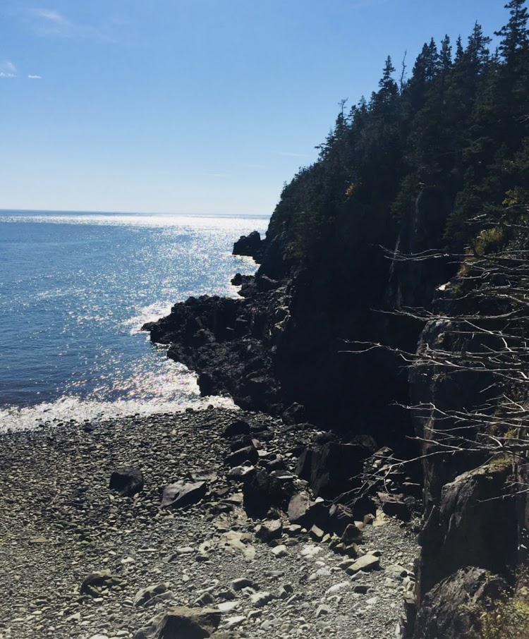
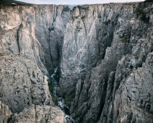
Black Canyon of the Gunnison National Monument was promoted to National Park status in 1999. There are two primary entrances to the park: the south rim entrance is located 15 miles east of Montrose, while the north rim entrance is 11 miles south of Crawford and is closed in the winter. The park contains 12 miles of the 48-mile long Black Canyon of the Gunnison River. The national park itself contains the deepest and most dramatic section of the canyon, but the canyon continues upstream into Curecanti National Recreation Area and downstream into Gunnison Gorge National Conservation Area. The canyon’s name owes itself to the fact that parts of the gorge only receive 33 minutes of sunlight a day. The shear depth of the canyon is incredible and although very different is just as magnificent a sight as the Grand Canyon in its own unique way.
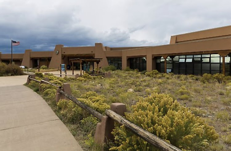
Capulin Volcano National Monument in Des Moines, New Mexico protects and interprets an extinct cinder cone volcano and is part of the Raton-Clayton Volcanic Field. A paved road spirals gradually around the volcano and visitors can drive up to a parking lot at the rim of the extinct volcano. Hiking trails circle the rim as well as lead down into the mouth of the volcano. The visitor center features exhibits about the volcano and the area’s geology, natural and cultural history, and offers educational programs about volcanoes. There is also a video presentation about the volcano. The name capulin comes from a type of choke cherry, Prunus virginiana, that is native to southern North America.
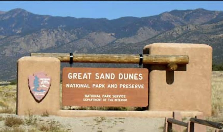
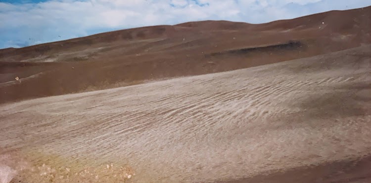
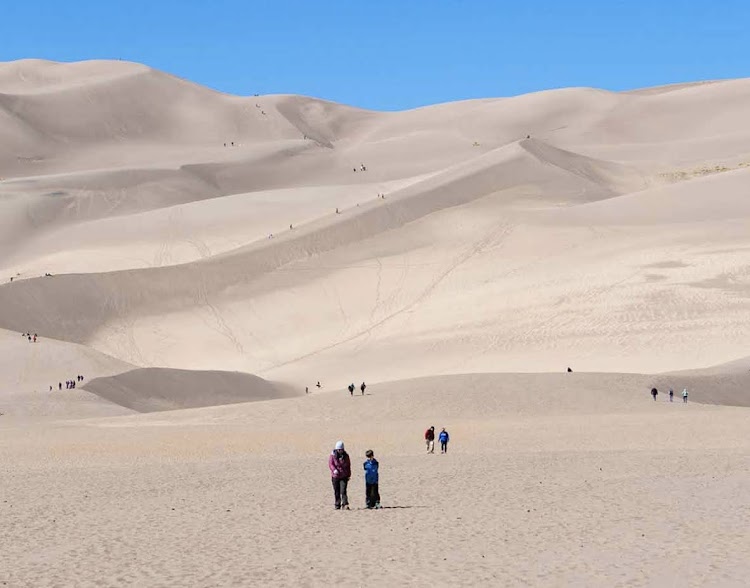
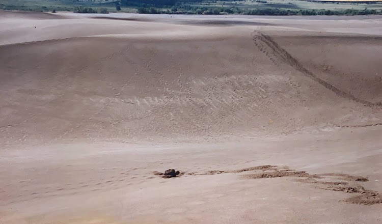
Great Sand Dunes National Park and Preserve conserves an area of large sand dunes up to 750 feet tall on the eastern edge of the San Luis Valley, and an adjacent national preserve in the Sangre de Cristo Range, in south-central Colorado. The park was originally designated Great Sand Dunes National Monument on March 17, 1932, by President Herbert Hoover. The original boundaries protected an area of 35,528 acres. A boundary change and re-designation as a national park and preserve was authorized on November 22, 2000, and then established by an act of Congress on September 24, 2004. The park encompasses 107,342 acres while the preserve protects an additional 41,686 acres for a total of 149,028 acres.
The park contains the tallest sand dunes in North America. Visitors must walk across the wide and shallow Medano Creek to reach the dunes in spring and summer. The creek typically has a peak flow from late May to early June. From July to April, it is usually no more than a few inches deep, if there is any water at all. Hiking is permitted throughout the dunes with the warning that the sand surface temperature may reach 150 °F in summer. You may start up the dunes in the morning barefoot when it is quite cool but when the sun starts heating up the sand it is impossible to walk. The old chestnut about taking three steps forward and two steps back also definitely applies to hiking up these dunes.