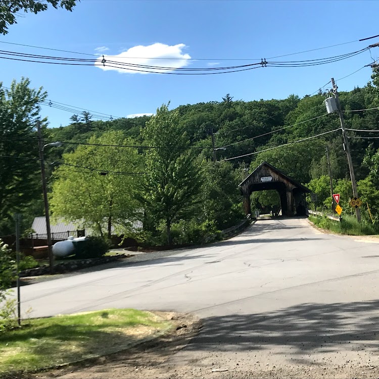
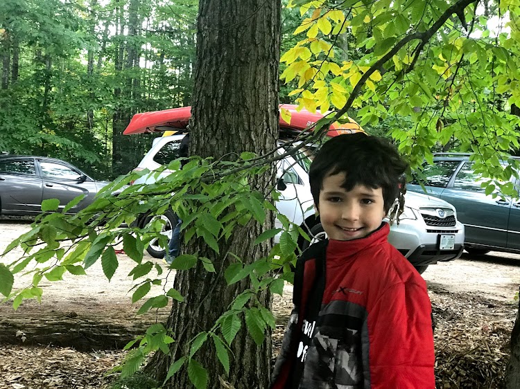
The easy to find Squam River Bridge in Ashland, New Hampshire is a modern bridge spanning the Squam River.


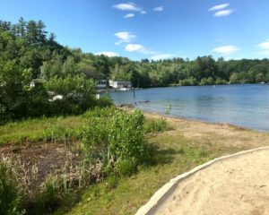
The bridge is in a multi use area with a small marina and town beach adjacent.

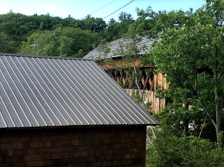


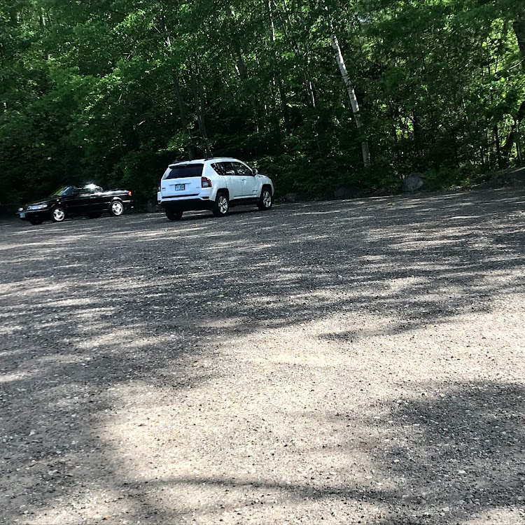
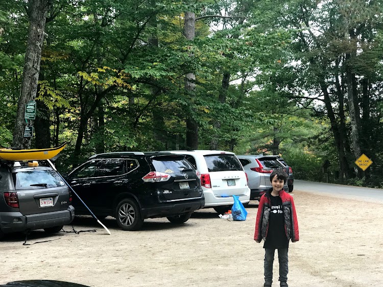
Ample parking area gives easy access to the beach and bridge.


Not our name, but our passion
The easy to find Squam River Bridge in Ashland, New Hampshire is a modern bridge spanning the Squam River.
The bridge is in a multi use area with a small marina and town beach adjacent.
Ample parking area gives easy access to the beach and bridge.
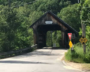
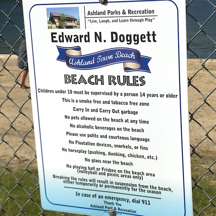
the Edward N. Doggett Town Beach is located next to the Squam River Covered Bridge in Ashland, New Hampshire. The small beach is open to all visitors for a small fee ($4.00 for non residents).
There is parking across the street.
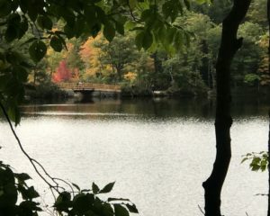
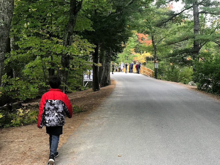
Be sure to check out the adjacent covered bridge:
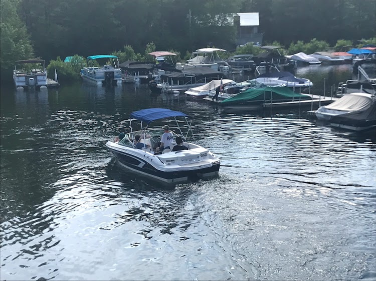
And watch the boats leaving the small marina.
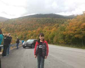
Last year’s foliage road trip was a bit past peak so we were hoping for better timing this year, unfortunately we were a little early. Maybe in another year we will time it just right.
It is always a bit hit or miss one week earlier or later could always bring the best views. We headed out Saturday October 7 and drove north towards New Hampshire’s White Mountains. Jumping onto NH Route 16 after fueling up at Dunkin our first stop was the Chocorua Lake Conservancy right off the road in Tamworth, New Hampshire.


As you pull out of the parking area stop at the roadside marker to learn a little about the
“Legend of Chocorua.”

We next swung onto the Kancamagus Highway and stopped at the Albany Covered Bridge just a few miles from the entrance of the National Forest.


Head on past Lower Falls and Rocky Gorge until you see the junction to Bear Notch Road.


Bear Notch Road is a seasonal road going from the Kancamagus to Bartlett, New Hampshire. The road is an often overlooked side trip offering spectacular mountain views superior to what you will find on the Kancamagus itself. If heading north it is a good way to bypass the heavy traffic going through North Conway.


The end of the road brought us to Bartlett where we then took NH Route 302 south for a short distance before again connecting to NH Route 16. Be sure to look out for the Covered Bridge Gift Shop on the left. The shop is a genuine 1851 covered bridge that has been outfitted with a gift shop inside.


Take NH Route 16 north and enjoy the scenery as you pass attractions such as Storyland and the Mount Washington Auto Road. I would definitely not recommend the auto road at this time of year the traffic can be intimidating and it is a road that you do not want to have to meet a lot of cars on.


The first major town you will come across is the town of Gorham. This is a good place to stop for groceries or fast food as you head further north. The town also has a great Historical Society Museum which has a detailed model train layout.


The town of Berlin is next up. This old mill town has seen better days since the collapse of the lumber and paper industries.

The foliage and rural landscapes highlight the next portion of the trip.


The Nansen Ski Jump, the oldest ski jump in America, is a great backdrop for photos.

The Bofinger Conservation Area has good access to the river. This is a nicely developed site with a porto-a-potty and large parking area but there are dozens of small pull offs all along the river that you can stop and take pictures at.


As you enter the 13 Mile Wood Community Forest there is a nice picnic area along the river bank at the Androscoggin State Wayside.


As you approach Errol the Mollidgewock State Park is on your right. This is a great camping opportunity in the warmer months with beautiful site right on the water.

It was getting late and we were all a bit tired so we decided to reverse course and head back home. We took Route 16 south and bypassed the Bear Notch Road heading for North Conway. This was not the best idea as the combination of “leaf peepers” and Fryeburg Fair goers made the traffic stop and go for several miles. North Conway can be a destination in itself with its history, restaurants and shopping. Stop at Schouler Park and everything is within easy walking distance.


Look to your right for a view of the Saco River Covered Bridge as a final goodbye before you head home.

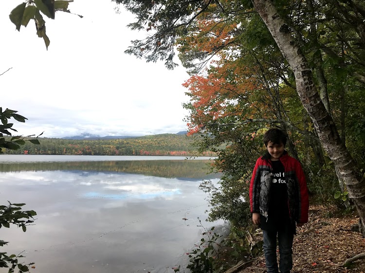
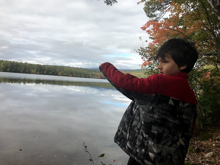
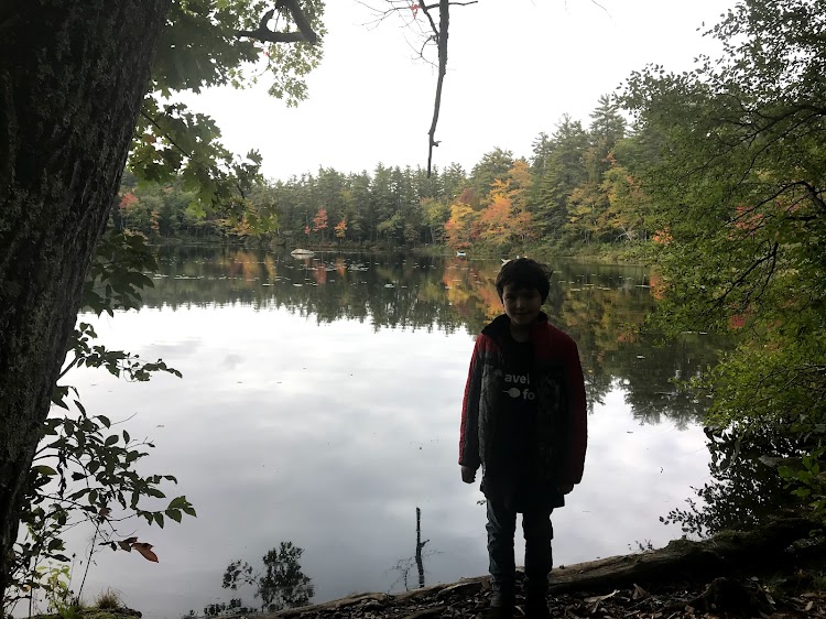
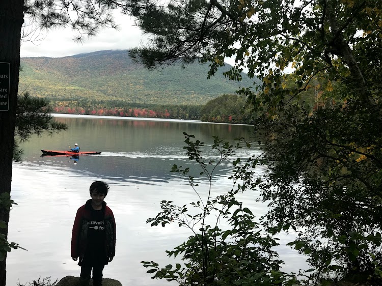
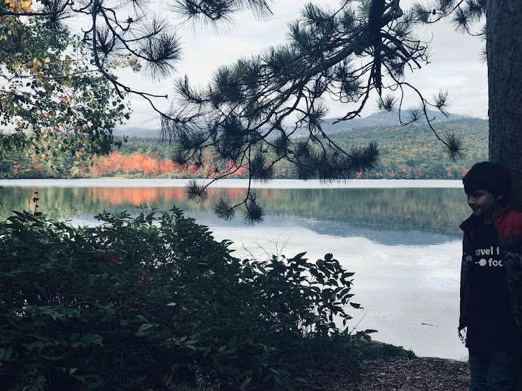
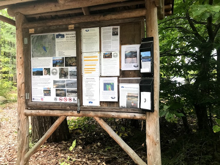
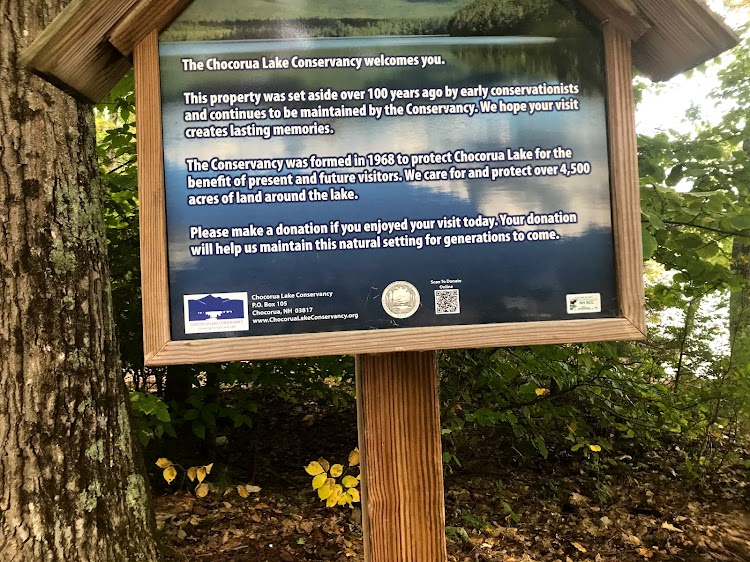
The Chocorua Lake Conservancy is a collection of lands preserving the iconic view of Lake Chocorua with Mount Chocorua in the background. The view is spectacular at any time but especially so during fall foliage season.
In the late 19th century C.P. Bowditch owned about 90% of the land surrounding Lake Chocorua. In his will he expressed his intent “to insure the future, as I have attempted to insure in the past, the keeping of the shores of the Chocorua Ponds in as a natural and wild state as possible.” Because of his bequest and subsequent stewardship we have a wonderful scenic list to enjoy.
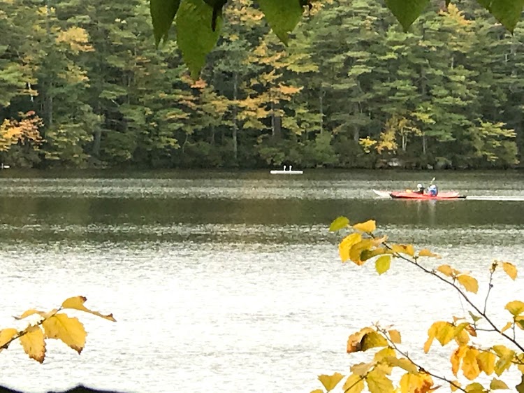
A three acre parcel know as the grove near the Narrows Bridge is one of the main public access points; ideal for swimming, canoe and kayak put in access and photography.
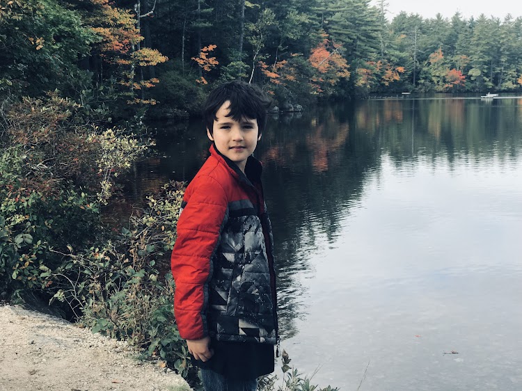
There is also a 17 acre site known as “The Island” on the old NH Route 16.
There is also a “Tamworth Resident Only” access area off NH Route 16. During off peak season you may be able to make a quick stop for photos.
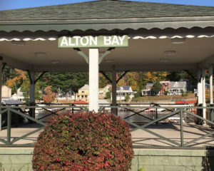
The town of Alton has 19 miles of shoreline on the southeast corner of Lake Winnipesaukee. Alton Bay was an extremely popular rail destination as passengers could take the train and transfer to a number of steamboats to points on the lake. The first rail lines were installed in 1847 and the transportation center opened in 1851. It was active until 1935.


This is still a very popular port of call as it is an embarkation point for the MS Mount Washington.
