Glacier National Park – Montana

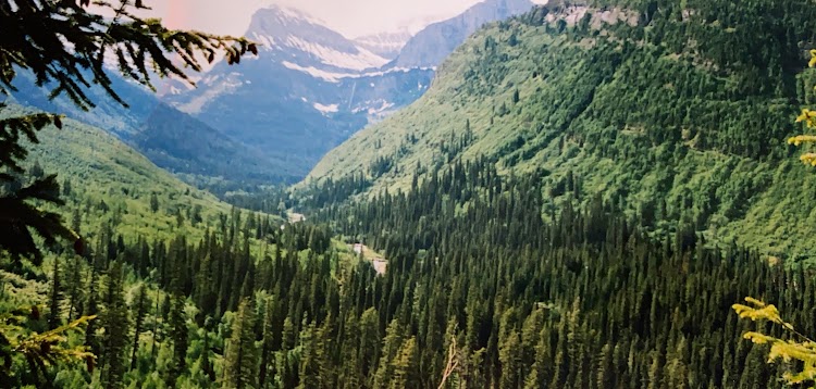
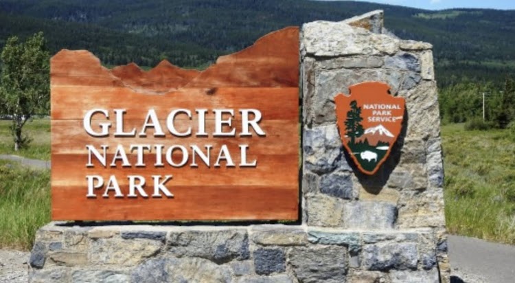
Glacier National Park is located in northwestern Montana, on the Canada–United States border, adjacent to the Canadian provinces of Alberta and British Columbia. The park encompasses over 1 million acres and includes parts of two mountain ranges, over 130 named lakes, more than 1,000 different species of plants, and hundreds of species of animals. This vast pristine ecosystem is the centerpiece of what has been referred to as the “Crown of the Continent Ecosystem,” a region of protected land encompassing 16,000 square miles. You can easily spend a week in the expansive park and not see everything as it truly is one of the jewels of the national park system.

New photo by Wanderlust Family Adventure / Google Photos

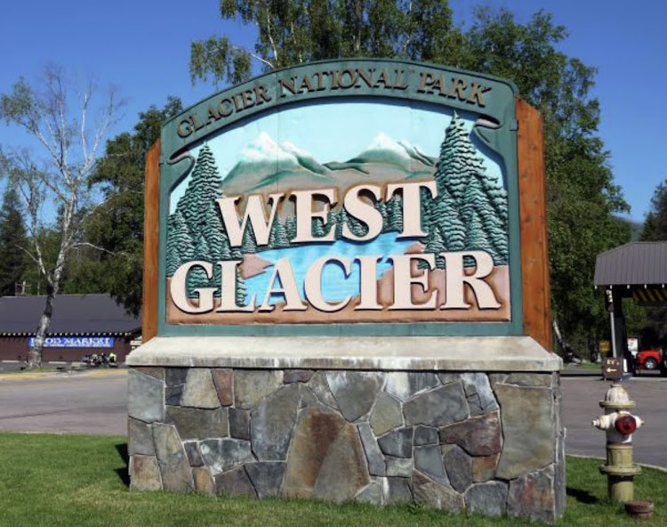
The town of West Glacier on the western side of the park makes a good entrance point.

New photo by Wanderlust Family Adventure / Google Photos

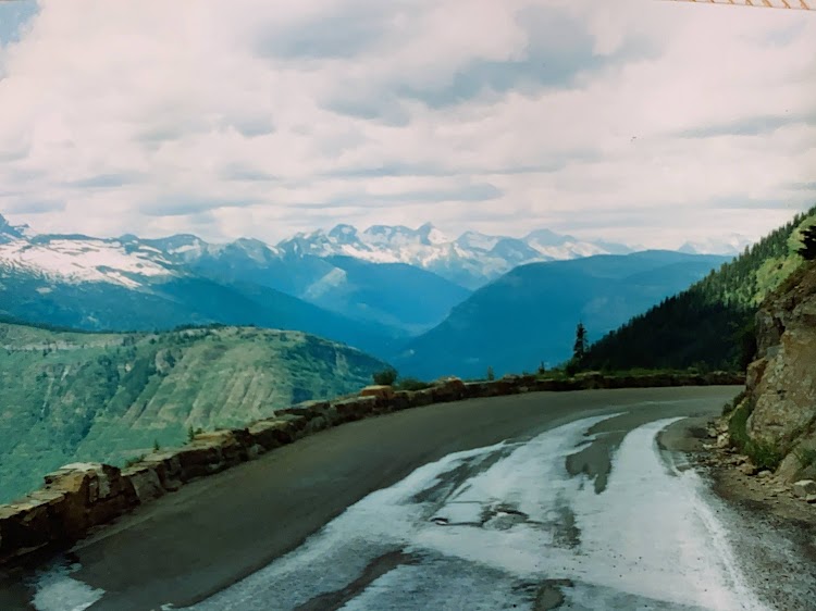
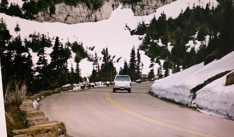
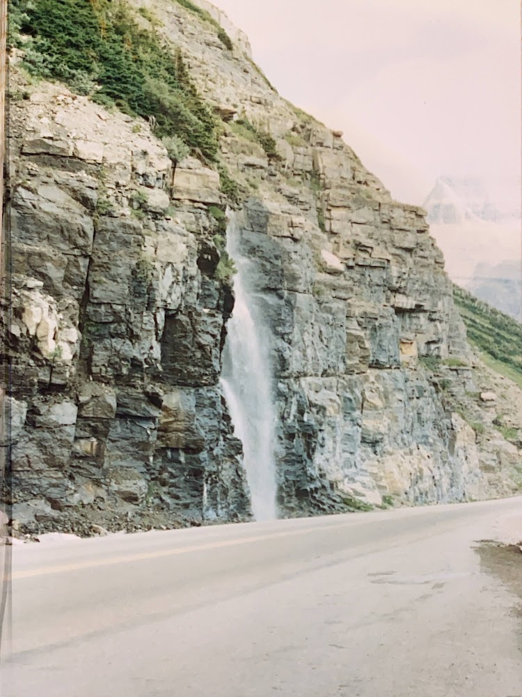
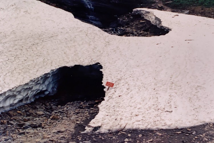
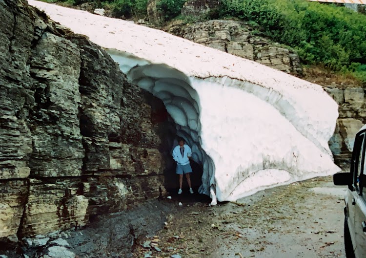
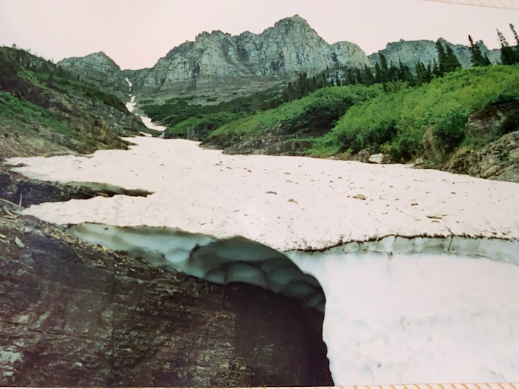
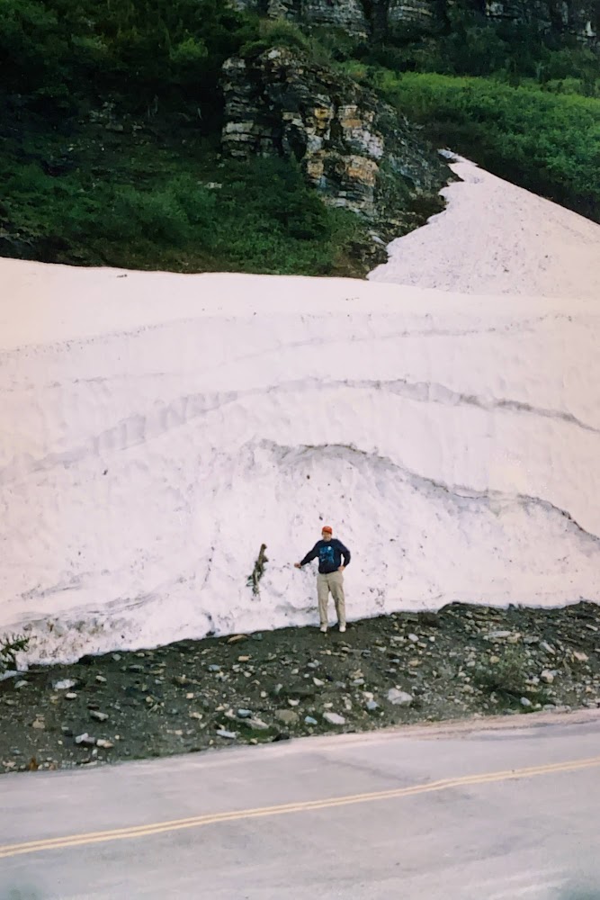
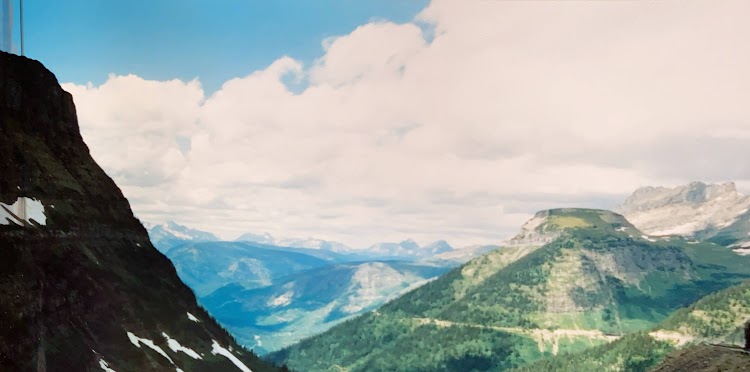
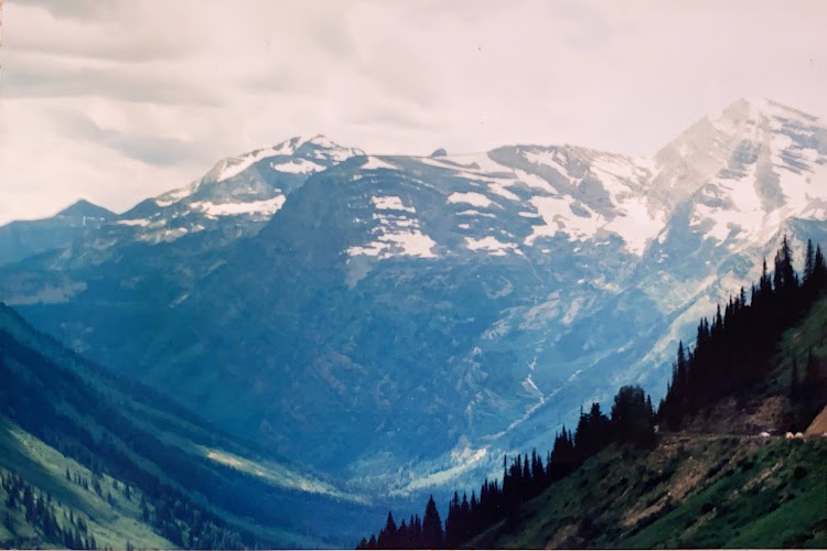
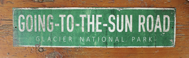
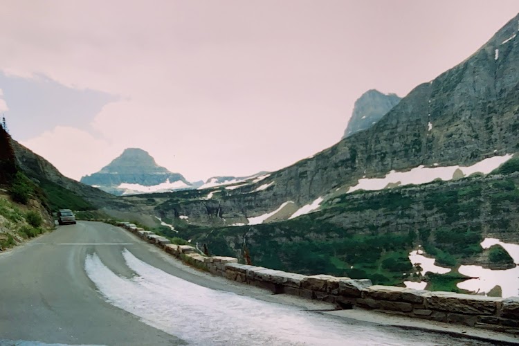
The only road traversing the park is the “Going to the Sun Road” which is snowbound as late as July in some years.

New photo by Wanderlust Family Adventure / Google Photos

Beginning at the West Glacier entrance there is a wonderful park campground with very secluded sites available.

New photo by Wanderlust Family Adventure / Google Photos

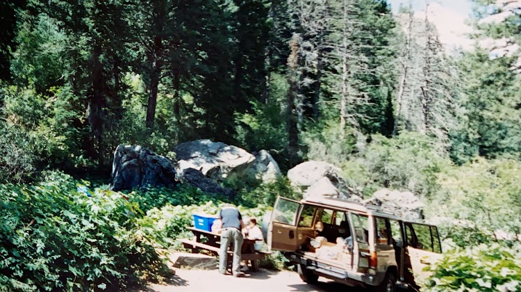
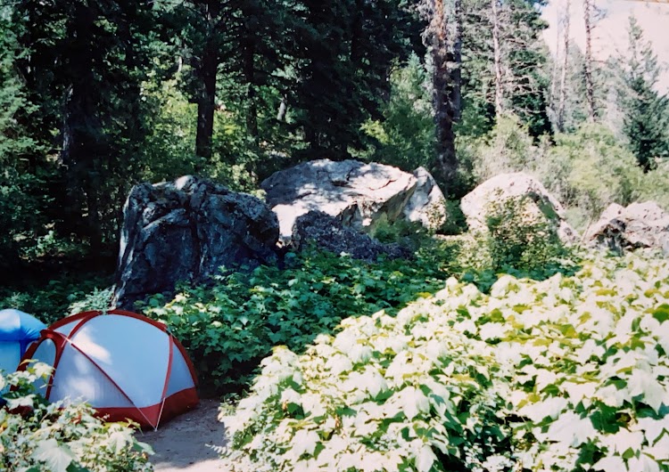
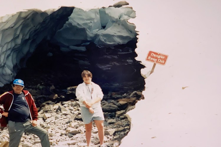
This is definitely bear country so be sure to take precautions when camping or hiking.

New photo by Wanderlust Family Adventure / Google Photos

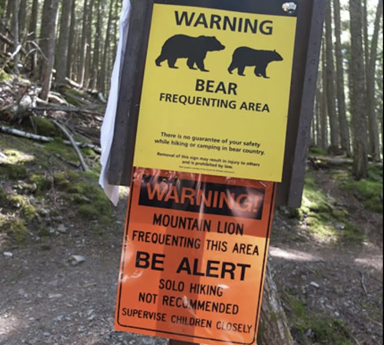
The rangers will confiscate your cooler if you leave it out on your picnic table.
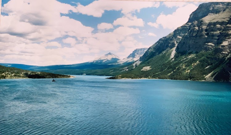
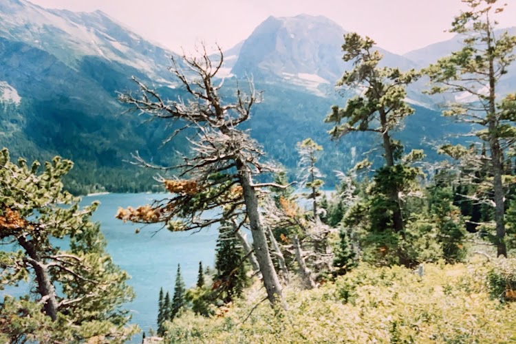
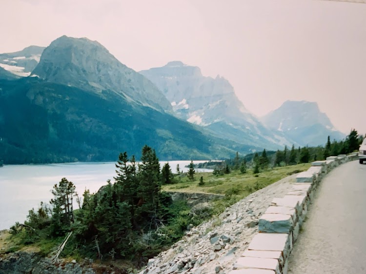
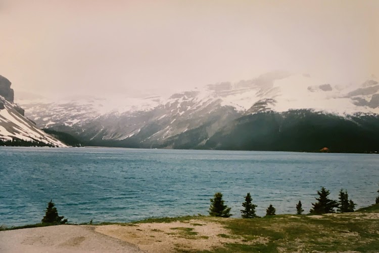
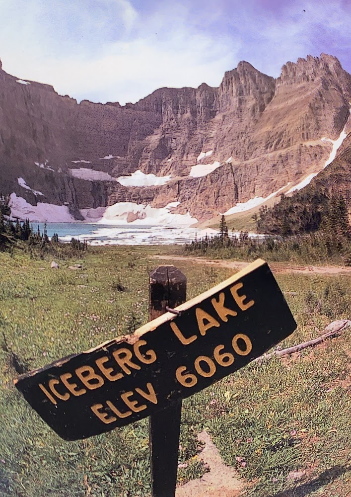
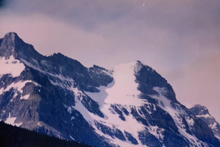
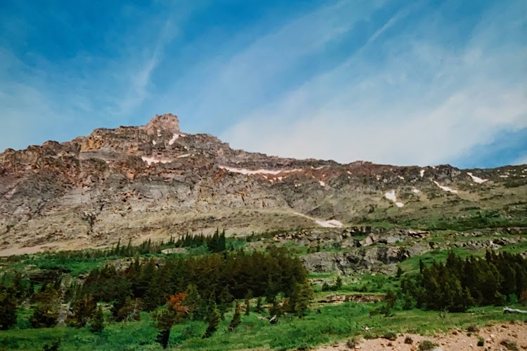
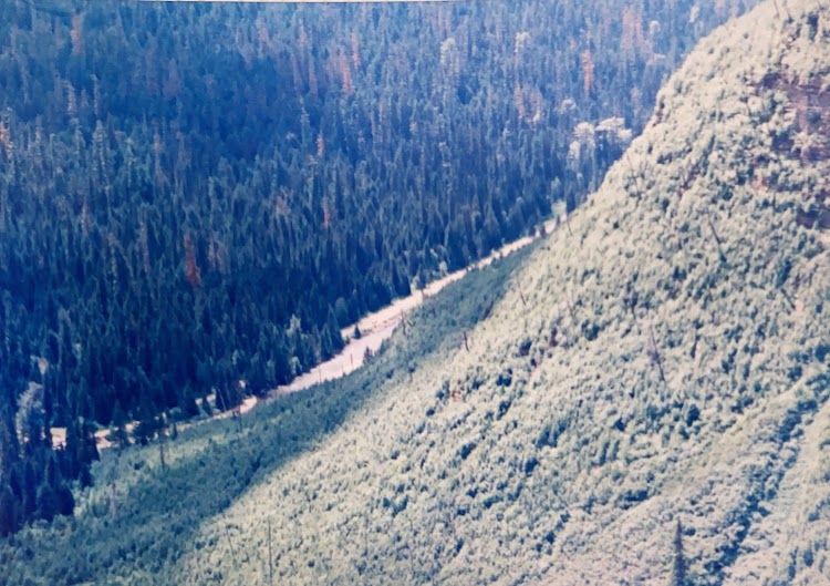
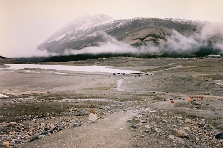
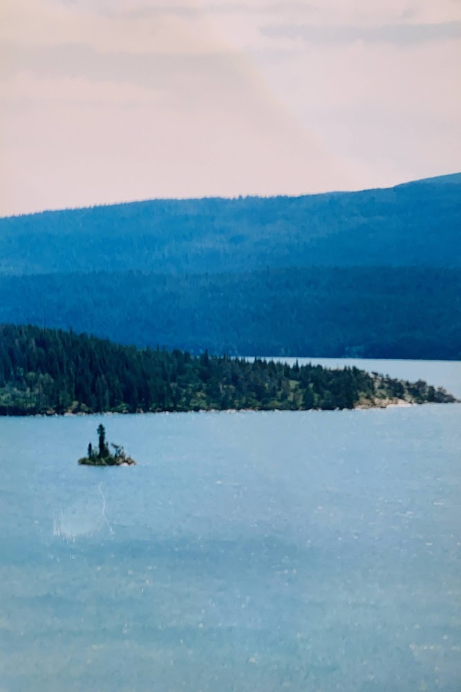
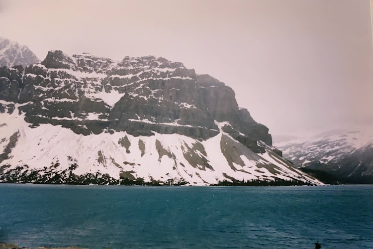
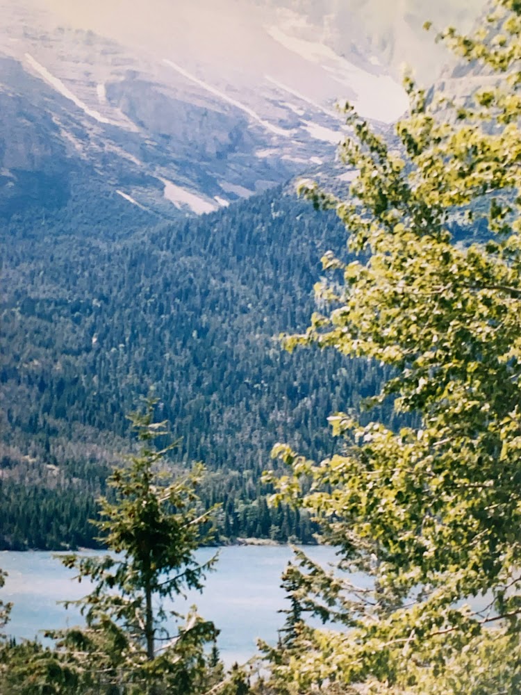
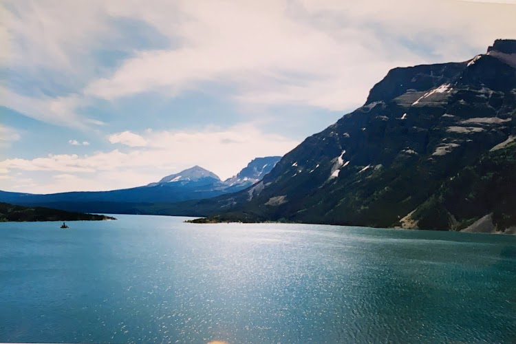
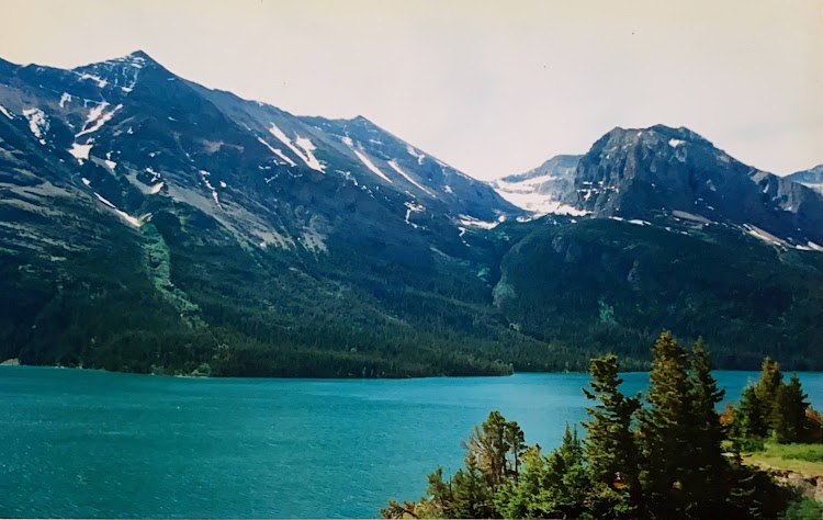
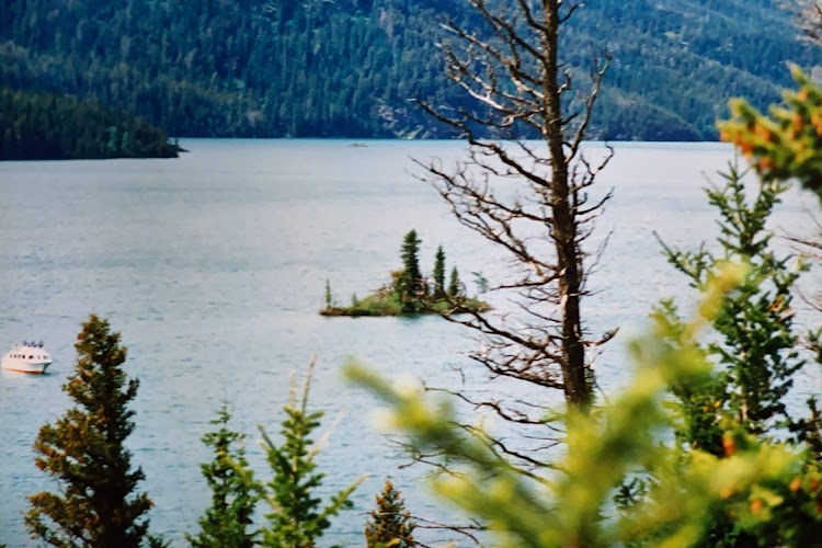
The many lakes in the park are beautiful with their frame of mountains surrounding them.

New photo by Wanderlust Family Adventure / Google Photos

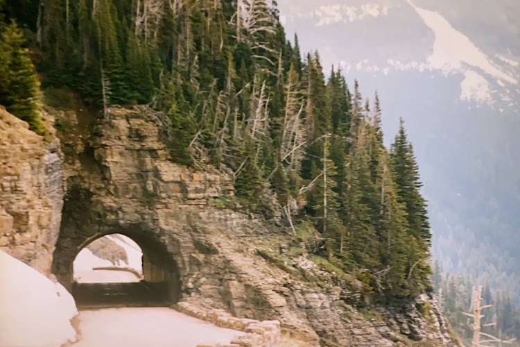
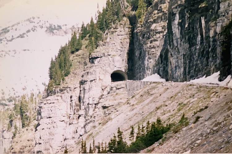
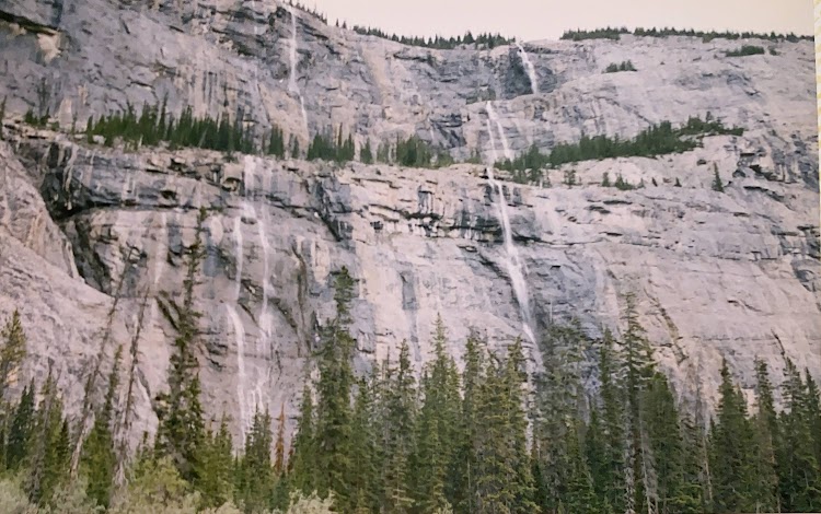
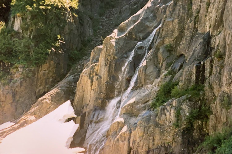
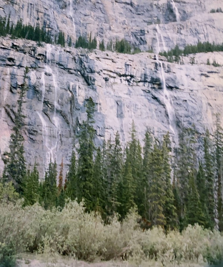
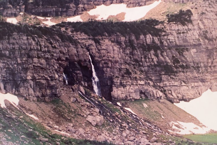
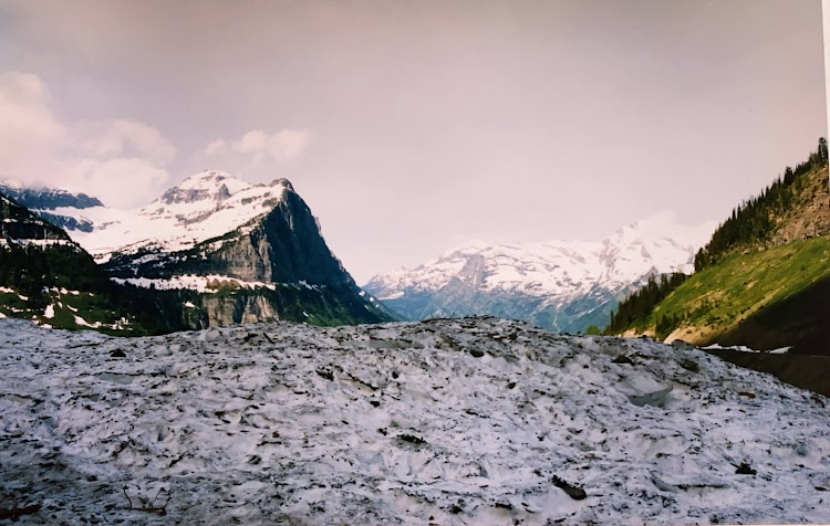
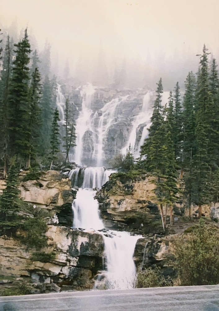
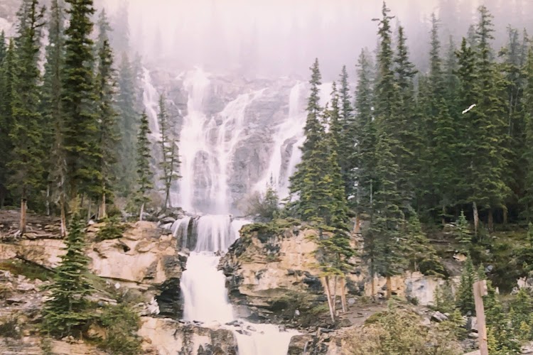
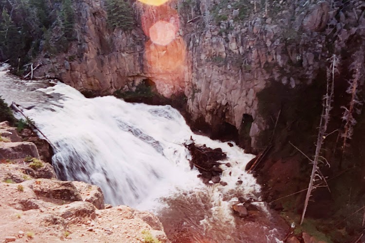
As you wind your way up the Going to the Sun Road,

New photo by Wanderlust Family Adventure / Google Photos

you will pass many waterfalls and cascades coming down the cliff faces,

New photo by Wanderlust Family Adventure / Google Photos

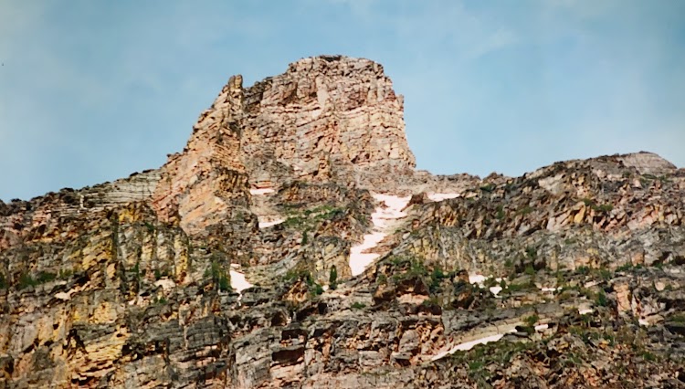
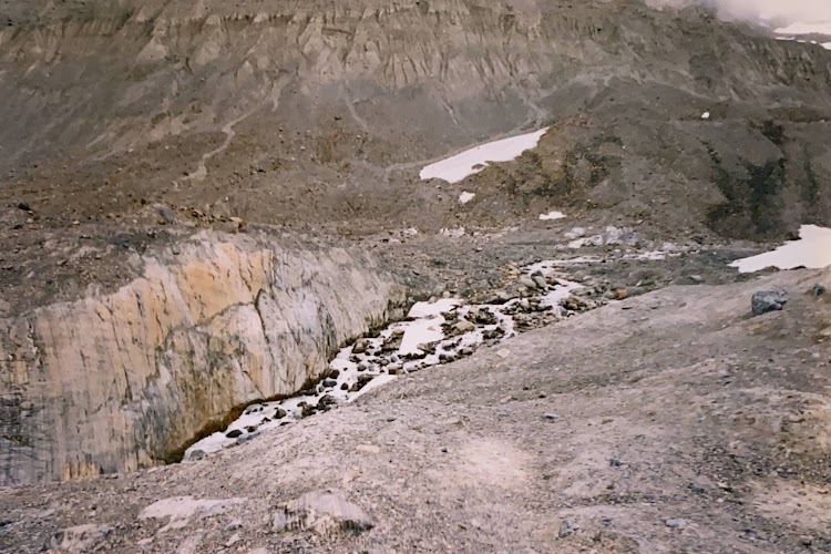
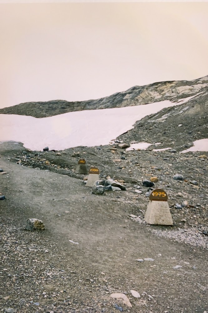
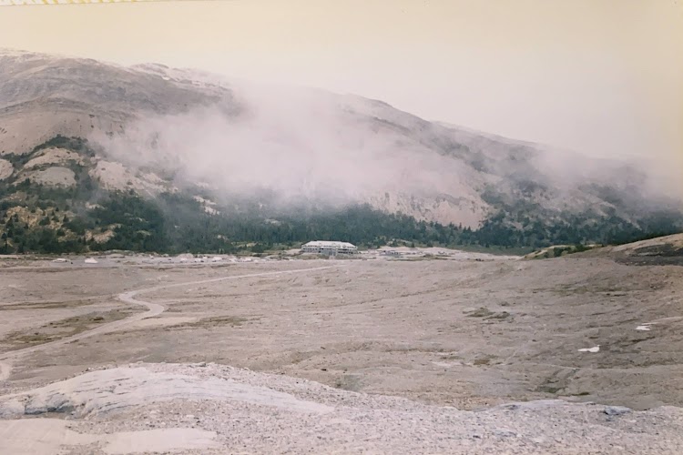
the snow drifts on the side of the road are enormous even into late summer.

New photo by Wanderlust Family Adventure / Google Photos

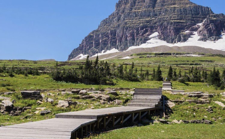
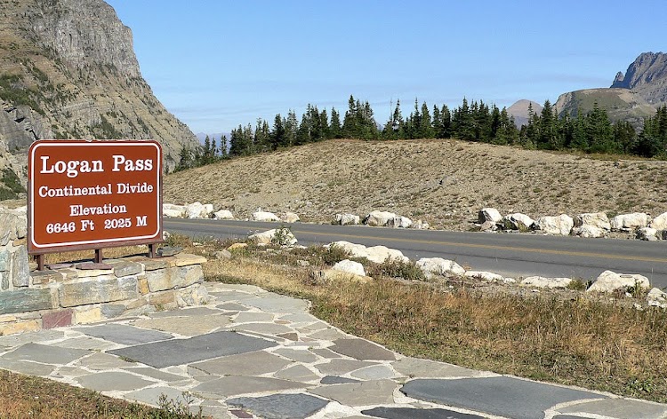
Logan Pass is the pinnacle of the road on the continental divide.

New photo by Wanderlust Family Adventure / Google Photos

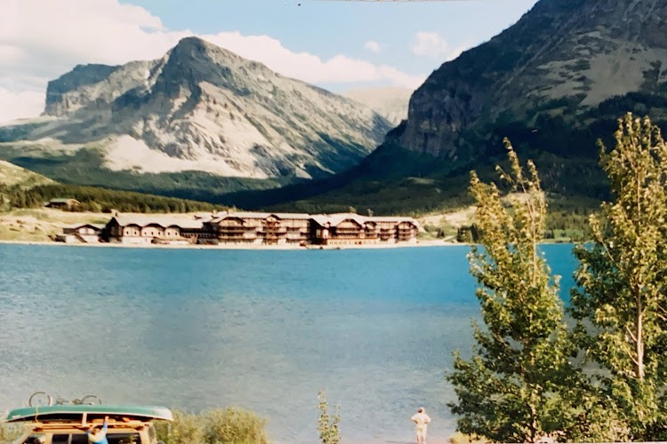
On the eastern end of the park is the Many Glacier region with its numerous hiking trails and its grand hotel.

New photo by Wanderlust Family Adventure / Google Photos

Pictured Rocks National Lakeshore – Munising, Michigan

Pictured Rocks National Lakeshore is on the shore of Lake Superior in the Upper Peninsula of Michigan, United States in the town of Munising. It extends for 42 miles along the shore and covers 73,236 acres. The park has extensive views of the hilly shoreline between Munising and Grand Marais in Alger County, Michigan, with picturesque rock formations, waterfalls, and sand dunes.

New photo by Wanderlust Family Adventure / Google Photos

A short hike will bring you to Miner’s Falls.

New photo by Wanderlust Family Adventure / Google Photos

The Grand Canyon of the Yellowstone – Yellowstone National Park, Wyoming

The Grand Canyon of the Yellowstone is the first large canyon on the Yellowstone River downstream from Yellowstone Falls in Yellowstone National Park in Wyoming. The canyon is approximately 24 miles long, between 800 and 1,200 ft deep. Spectacular views of the canyon, the falls and the cascade below the falls are easily observed from park overlooks.

New photo by Wanderlust Family Adventure / Google Photos

Going-to-the-Sun Road (Glacier National Park, Montana)

Going-to-the-Sun Road is a scenic mountain road in Glacier National Park in Montana. The Sun Road is the only road that traverses the park, crossing the Continental Divide through Logan Pass at an elevation of 6,646 feet which is the highest point on the road. Construction began in 1921 and was completed in 1932. The road is one of the most difficult roads in North America to snowplow in the spring. Up to 80 feet of snow can lie on top of Logan Pass, and more just east of the pass where the deepest snowfield has long been referred to as the Big Drift. On the east side of the Continental Divide, there are few guardrails due to heavy snows and the resultant late-winter avalanches that have destroyed protective barriers. The road is generally open from early June to mid October, but beware I was at the park on July 3 one year and the road was still closed. If this is the case you will have to take a very long drive around the perimeter of the park to the south to access the western portion of the park.
There are two large lakes on either side of the road Lake McDonald to the west and St. Mary Lake on the eastern side.

New photo by Wanderlust Family Adventure / Google Photos

From the lake you wind your way up the mountains,

New photo by Wanderlust Family Adventure / Google Photos

keep your eye open for waterfalls along the way,

New photo by Wanderlust Family Adventure / Google Photos

the snow drifts can be enormous even in summer,

New photo by Wanderlust Family Adventure / Google Photos

and of course the mountain scenery is spectacular.

New photo by Wanderlust Family Adventure / Google Photos

You will eventually make your way up to Logan Pass the highest point on the road.

New photo by Wanderlust Family Adventure / Google Photos

Banff National Park – Alberta, Canada

Banff National Park is Canada’s oldest national park, established in 1885. Located in Alberta’s Rocky Mountains Banff encompasses 2,564 sq miles of mountainous terrain, with many glaciers and ice fields, dense coniferous forest, and alpine landscapes. The Icefields Parkway extends from Lake Louise, Alberta to Jasper National Park in the north. The parks together along with the surrounding area form the Canadian Rocky Mountain UNESCO World Heritage Site.

New photo by Wanderlust Family Adventure / Google Photos

Over the past few million years, glaciers have at times covered most of the park, but today are found only on the mountain slopes. The Columbia Icefield is the largest uninterrupted glacial mass in the Rockies. You can walk out onto the glacier but be sure to bring sunglasses. I neglected to bring a pair and the resulting snow blindness gave me the worst headache I ever had in my life.

New photo by Wanderlust Family Adventure / Google Photos

The walk up to what is now the foot of the glacier gives you a real sense of the effects of Global Warming as the markers indicate how far the glacier has receded in the last few decades.

New photo by Wanderlust Family Adventure / Google Photos

The power of the glaciers can be seen in the grooves carved into the granite rocks.

New photo by Wanderlust Family Adventure / Google Photos