Roosevelt Campobello International Park – New Brunswick, Canada

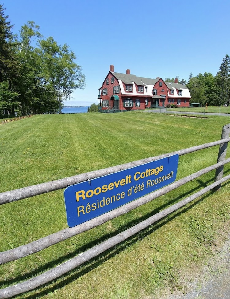
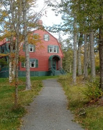
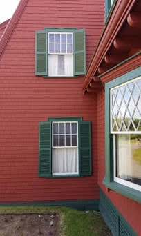
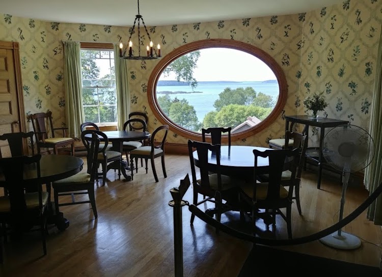
Roosevelt Campobello International Park preserves the house and surrounding landscape of the summer retreat of Franklin D. Roosevelt, Eleanor Roosevelt and their family. It is located on the southern tip of Campobello Island in the Canadian province of New Brunswick, and is connected to the mainland by the Roosevelt Memorial Bridge, at Lubec, Maine in the United States. Here in August 1921, 39-year-old Roosevelt, who would go on to become the 32nd President of the United States, was stricken by a severe paralytic illness, believed to be polio at the time, leaving him permanently paralyzed from the waist down. FDR was no longer able to stay at the “beloved island”, but he sailed there in 1933 and visited briefly in 1936 and 1939. Eleanor Roosevelt loved the cool summer weather and visited many times with her children and friends. Armand Hammer acquired the cottage in 1952. After Eleanor’s death in 1962, Armand Hammer deeded the property to the governments of the U.S. and Canada. In 1964, they created the 2,800-acre International Park. The cottage, built in the Shingle Style and completed in 1897, was designed by Willard T. Sears.

New photo by Wanderlust Family Adventure / Google Photos

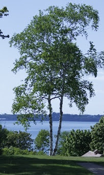
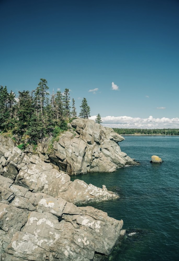
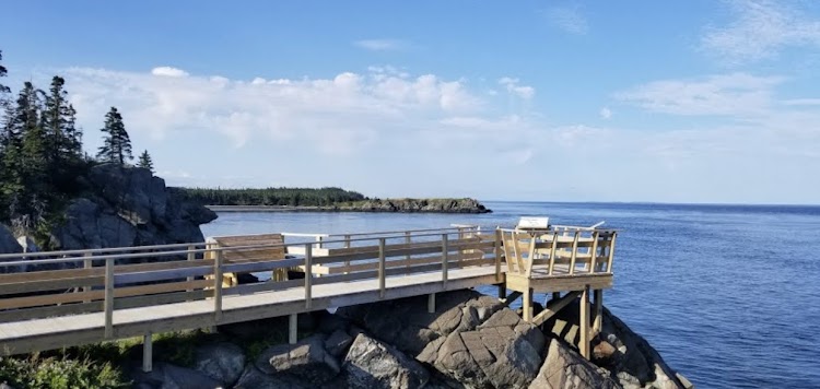
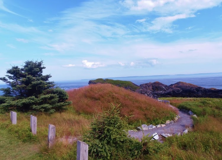
Adjacent to the Roosevelt cottage there is a natural area with hiking trails and viewpoints overlooking the bay.

New photo by Wanderlust Family Adventure / Google Photos

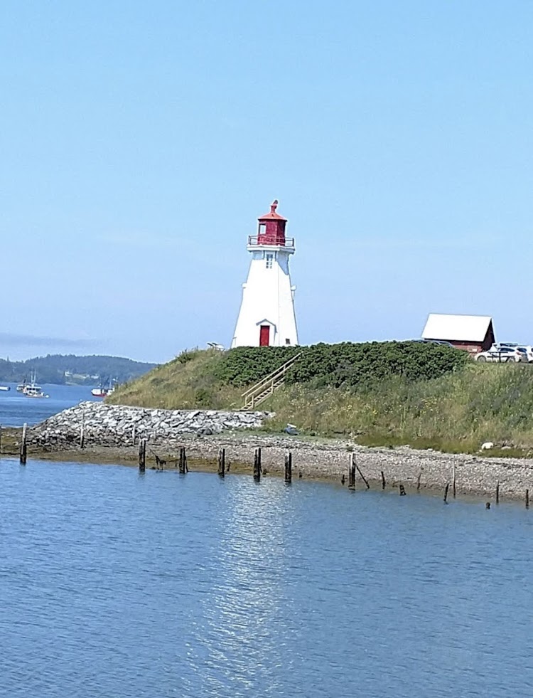
The Mulholland Point Lighthouse is owned and administered by the park.

New photo by Wanderlust Family Adventure / Google Photos

Quoddy Head State Park – Lubec, Maine

Quoddy Head State Park is four miles off Maine State Route 189 in Lubec, Maine on the easternmost point of land in the continental United States. On its 541 acres the park features 5 miles of hiking trails, extensive forests, two bogs, diverse habitat for rare plants, and the striking, red-and-white striped lighthouse tower of West Quoddy Head Light. For a few weeks around the equinoxes, West Quoddy Head is the first location in the United States to see the sunrise. Quoddy Head State Park is also the closest geographic point in the United States to the African continent.

New photo by Wanderlust Family Adventure / Google Photos

Fort Necessity National Battlefield – Farmington, Pennsylvania

Fort Necessity National Battlefield is a National Battlefield Site in Fayette County, Pennsylvania, which preserves the site of the Battle of Fort Necessity. The battle, which took place on July 3, 1754, was an early battle of the French and Indian War, and resulted in the surrender of British colonial forces under Colonel George Washington, to the French and Indians, under Louis Coulon de Villiers.

New photo by Wanderlust Family Adventure / Google Photos

The site also includes the Mount Washington Tavern, once one of the inns along the National Road,

New photo by Wanderlust Family Adventure / Google Photos

and in two separate units the grave of British General Edward Braddock, killed in 1755,

New photo by Wanderlust Family Adventure / Google Photos

a remnant of the National Road,

New photo by Wanderlust Family Adventure / Google Photos

and the site of the Battle of Jumonville Glen.

New photo by Wanderlust Family Adventure / Google Photos

Hopewell Rocks Provincial Park – New Brunswick, Canada

The Hopewell Rocks, also called the Flowerpots Rocks or simply The Rocks, are rock formations caused by tidal erosion in The Hopewell Rocks Ocean Tidal Exploration Site in New Brunswick. They stand 40–70 feet tall. They are located on the shores of the upper reaches of the Bay of Fundy at Hopewell Cape near the end of a series of Fundy coastal tourism hubs including Fundy National Park and the Fundy Trail. Due to the extreme tidal range of the Bay of Fundy, the base of the formations are covered in water twice a day. However, it is possible to view the formations from ground level at low tide. The formations consist of dark sedimentary conglomerate and sandstone rock. The large volume of water flowing in to and out of the Bay of Fundy modifies the landscape surrounding it. After the retreat of the glaciers in the region following the last ice age, surface water filtering through cracks in the cliff has eroded and separated the formations from the rest of the cliff face. Meanwhile, advancing and retreating tides and the associated waves have eroded the base of the rocks at a faster rate than the tops, resulting in their unusual shapes.

New photo by Wanderlust Family Adventure / Google Photos

Curecanti National Recreation Area – Gunnison, Colorado

Curecanti National Recreation Area is a National Park Service unit located on the Gunnison River in western Colorado. Established in 1965, Curecanti is responsible for developing and managing recreational facilities on three reservoirs, Blue Mesa Reservoir, Morrow Point Reservoir and Crystal Reservoir, constructed on the upper Gunnison River in the 1960s by the U.S. Bureau of Reclamation to better utilize the vital waters of the Colorado River and its major tributaries. A popular destination for boating and fishing, Curecanti offers visitors two marinas, traditional and group campgrounds, hiking trails, boat launches, and boat-in campsites. The state’s premiere lake trout and Kokanee salmon fisheries, Curecanti is a popular destination for boating and fishing, and is also a popular area for ice-fishing in the winter months.

New photo by Wanderlust Family Adventure / Google Photos